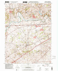
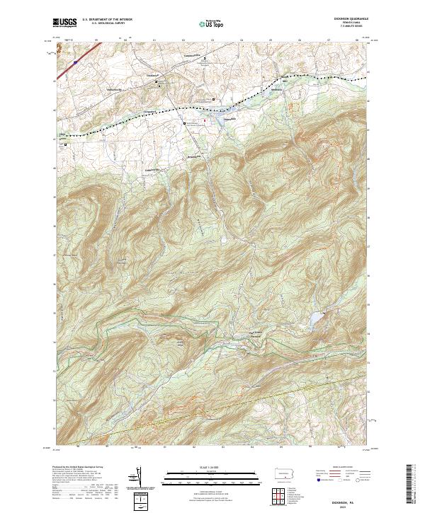
1999 Map of Plainfield
USGS Topo · Published 2001About this map
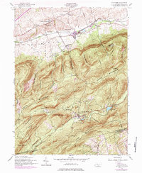
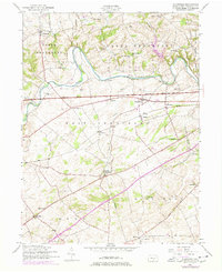
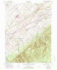
Conodoguinet Creek meanders through the heart of this Cumberland County landscape, dividing the townships of Upper Frankford and West Pennsboro. The 1999 topography reflects a deeply rooted rural infrastructure where 19th-century educational and religious centers remained prominent landmarks into the modern era. While the Pennsylvania Turnpike and its modern Rest Area cut a straight path across the terrain, the map is punctuated by numerous local institutions like the McAllister School and Church and the Opossum Hill Union Church. The presence of the Waterloo School (Abandoned) and various family-named schoolhouses such as the Locust Point School and Savannah School provide a clear view of the historical school district layout. From the village of Plainfield to the scattered crossroads like Elliottson and Greason, this survey documents the persistent settlement patterns of the Cumberland Valley.
Find a feature on this map
45 named features on this map. Tap any name to fly to it.
Don’t see what you’re looking for? This feature index may not catch every label — zoom into the map to look around manually.
Map Details
Editions of this 1999 Plainfield Map
This is the sole edition of this map. No revisions or reprints were ever made.
Historical Maps of Plainfield Through Time
8 maps found
Featured Locations
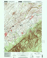
- Dickinson Township, PA
- Upper Frankford Township, PA
- West Pennsboro Township, PA
- Mooredale, Dickinson Township
- Plainfield, West Pennsboro Township