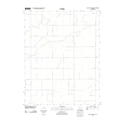
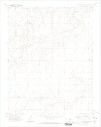
2010 Map of Plains Community
USGS Topo · Published 2010About this map
Plains Community serves as the primary landmark in this section of the High Plains of southeastern Colorado. The landscape is defined by the ephemeral courses of Two Butte Creek, North Butte Creek, and Little Bear Creek, which carve subtle drainage patterns across the terrain. A rigid grid of county roads, including County Road H and County Road WW, partitions the territory into large agricultural or grazing sections characteristic of the region's rural development. This 2010 survey by the U.S. Geological Survey utilizes aerial imagery to document the sparse settlement patterns and water-management features, providing a precise look at the rural infrastructure in this corner of Baca County.
Find a feature on this map
23 named features on this map. Tap any name to fly to it.
Don’t see what you’re looking for? This feature index may not catch every label — zoom into the map to look around manually.
Map Details
Editions of this 2010 Plains Community Map
This is the sole edition of this map. No revisions or reprints were ever made.
Other maps of this area

1891 · Albany
USGS Topo · 1:125,000

1893 · Albany
USGS Topo · 1:125,000

1955 · La Junta
USGS Topo · 1:250,000

1958 · La Junta
USGS Topo · 1:250,000
1966 · Two Butte Springs
USGS Topo · 1:24,000

1968 · La Junta
USGS Topo · 1:250,000
1968 · North Plum Creek SE
USGS Topo · 1:24,000
1968 · Barrel Spring
USGS Topo · 1:24,000
1971 · Plains Community
USGS Topo · 1:24,000

1971 · Two Buttes SE
USGS Topo · 1:24,000