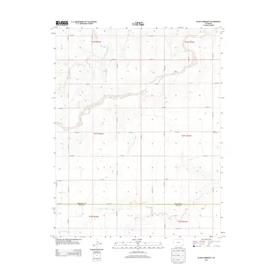
2013 Map of Plains Community
USGS Topo · Published 2013About this map
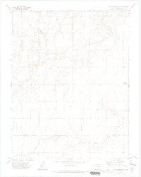
Plains Community occupies the eastern edge of this landscape, situated within a vast grid of county roads that define the rural character of the High Plains. The terrain is primarily shaped by the winding paths of North Butte Creek and Two Butte Cr in the northern half, while Little Bear Cr meanders across the southern sections. This 2013 survey illustrates the enduring agricultural survey system, where section lines and roads like CO Road H and CO Road XX dictate the movement of people and commerce across the county line between Prowers and Baca Counties. The map provides a clear look at the sparse, organized settlement patterns of this frontier region, where life is tied closely to the intermittent watercourses and the straight-line geography of the Great Plains.
Find a feature on this map
21 named features on this map. Tap any name to fly to it.
Don’t see what you’re looking for? This feature index may not catch every label — zoom into the map to look around manually.
Map Details
Editions of this 2013 Plains Community Map
This is the sole edition of this map. No revisions or reprints were ever made.
Other maps of this area

1891 · Albany
USGS Topo · 1:125,000

1893 · Albany
USGS Topo · 1:125,000

1955 · La Junta
USGS Topo · 1:250,000

1958 · La Junta
USGS Topo · 1:250,000
1966 · Two Butte Springs
USGS Topo · 1:24,000

1968 · La Junta
USGS Topo · 1:250,000
1968 · North Plum Creek SE
USGS Topo · 1:24,000
1968 · Barrel Spring
USGS Topo · 1:24,000
1971 · Plains Community
USGS Topo · 1:24,000

1971 · Two Buttes SE
USGS Topo · 1:24,000