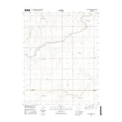
2016 Map of Plains Community
USGS Topo · Published 2016About this map
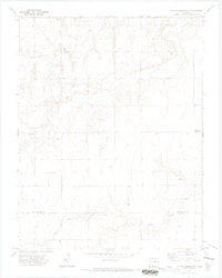
Two Butte Creek winds across this section of the High Plains, carving a distinct drainage through the agricultural landscape of southeastern Colorado. This 2016 survey shows the remote nature of the region along the border of Prowers and Baca Counties. The terrain is defined by its section-line road network, including routes like Co RD A and Co RD XX, which provide access to the isolated ranchlands. While the landscape is largely open, the presence of the Plains Community settlement on the eastern edge of the map indicates the social center for this rural territory. Water remains the primary geographical feature, with the meandering courses of North Butte Creek and Little Bear Creek providing the only break in the grid-patterned fields and pastures typical of this corner of the state.
Find a feature on this map
30 named features on this map. Tap any name to fly to it.
Don’t see what you’re looking for? This feature index may not catch every label — zoom into the map to look around manually.
Map Details
Editions of this 2016 Plains Community Map
This is the sole edition of this map. No revisions or reprints were ever made.
Other maps of this area

1891 · Albany
USGS Topo · 1:125,000

1893 · Albany
USGS Topo · 1:125,000

1955 · La Junta
USGS Topo · 1:250,000

1958 · La Junta
USGS Topo · 1:250,000
1966 · Two Butte Springs
USGS Topo · 1:24,000

1968 · La Junta
USGS Topo · 1:250,000
1968 · North Plum Creek SE
USGS Topo · 1:24,000
1968 · Barrel Spring
USGS Topo · 1:24,000
1971 · Plains Community
USGS Topo · 1:24,000

1971 · Two Buttes SE
USGS Topo · 1:24,000