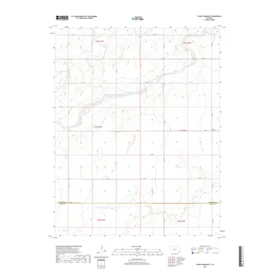
2019 Map of Plains Community
USGS Topo · Published 2019About this map
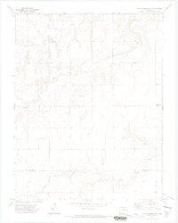
The Plains Community occupies a quiet expanse of southeastern Colorado on the border between Prowers and Baca Counties. This landscape is defined by the ephemeral drainages of Two Butte Creek and North Butte Creek, which carve winding paths through the high plains. The map reveals a highly structured grid of section lines and county roads, such as Co Rd 28 and Co Rd A, which underscore the region's agricultural and ranching heritage. Farther south, the watershed of Little Bear Creek creates subtle topographical variation in an otherwise flat terrain. The geographic arrangement of the few named features like N Butte Cr suggests a reliance on these critical water sources for local land use and boundary definition in a region where every drainage is a landmark.
Find a feature on this map
29 named features on this map. Tap any name to fly to it.
Don’t see what you’re looking for? This feature index may not catch every label — zoom into the map to look around manually.
Map Details
Editions of this 2019 Plains Community Map
This is the sole edition of this map. No revisions or reprints were ever made.
Other maps of this area

1891 · Albany
USGS Topo · 1:125,000

1893 · Albany
USGS Topo · 1:125,000

1955 · La Junta
USGS Topo · 1:250,000

1958 · La Junta
USGS Topo · 1:250,000
1966 · Two Butte Springs
USGS Topo · 1:24,000

1968 · La Junta
USGS Topo · 1:250,000
1968 · North Plum Creek SE
USGS Topo · 1:24,000
1968 · Barrel Spring
USGS Topo · 1:24,000
1971 · Plains Community
USGS Topo · 1:24,000

1971 · Two Buttes SE
USGS Topo · 1:24,000