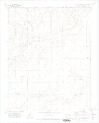
1971 Map of Plains Community
USGS Topo · Published 1973About this map
Plains Community sits on the high plains along the border of Colorado and Kansas, serving as the focal point for this rural 1971 survey. The landscape is defined by the drainage systems of Two Butte Creek, its northern branch North Two Butte Creek, and Little Bear Creek to the south. These intermittent waterways carve through the terrain, providing the primary relief in an area dominated by cattle ranching and dryland agriculture.
Find a feature on this map
11 named features on this map. Tap any name to fly to it.
Don’t see what you’re looking for? This feature index may not catch every label — zoom into the map to look around manually.
Map Details
Editions of this 1971 Plains Community Map
3 editions found
Other maps of this area

1891 · Albany
USGS Topo · 1:125,000

1893 · Albany
USGS Topo · 1:125,000

1955 · La Junta
USGS Topo · 1:250,000

1958 · La Junta
USGS Topo · 1:250,000
1966 · Two Butte Springs
USGS Topo · 1:24,000

1968 · La Junta
USGS Topo · 1:250,000
1968 · North Plum Creek SE
USGS Topo · 1:24,000
1968 · Barrel Spring
USGS Topo · 1:24,000

1971 · Two Buttes SE
USGS Topo · 1:24,000
1971 · Lycan
USGS Topo · 1:24,000