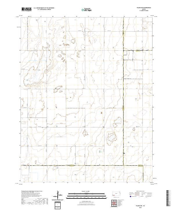
2022 Map of Plains NW
USGS Topo · Published 2022About this map
The High Plains landscape of southwestern Kansas meets at a crossroads of four counties in this 2022 survey. Located at the intersection of Haskell, Gray, Meade, and Seward counties, the terrain is characterized by a precise grid of rural section-line roads and numerous isolated depressions or ephemeral basins. The survey captures the organized land management of the region, where family-named routes like Rosson Rd and significant boundary markers like Co Line Rd 24 define the agricultural landscape. Unlike many regions where roads follow natural features, the network here, including Road W and Rd X, adheres strictly to the township and range system, specifically within Township 30 South, Range 31 West and surrounding areas. This documentation provides a contemporary view of the region's enduring rural infrastructure.
Find a feature on this map
42 named features on this map. Tap any name to fly to it.
Don’t see what you’re looking for? This feature index may not catch every label — zoom into the map to look around manually.
Map Details
Editions of this 2022 Plains NW Map
This is the sole edition of this map. No revisions or reprints were ever made.
Other maps of this area

1896 · Garden
USGS Topo · 1:125,000

1955 · Dodge City
USGS Topo · 1:250,000

1958 · Dodge City
USGS Topo · 1:250,000

1959 · Dodge City
USGS Topo · 1:250,000

1960 · Garden City 3 SE
USGS Topo · 1:24,000

1963 · Plains
USGS Topo · 1:24,000

1967 · Plains NE
USGS Topo · 1:24,000

1968 · Plains SW
USGS Topo · 1:24,000

1968 · Plains NW
USGS Topo · 1:24,000

1968 · Sublette SE
USGS Topo · 1:24,000