
1968 Map of Sublette SE
USGS Topo · Published 1970About this map
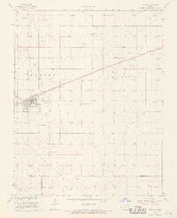
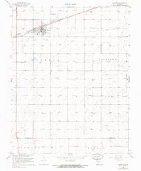
Gas extraction infrastructure dominates this prairie landscape in the late 1960s, evidenced by a dense network of Gas Well labels and pipelines crisscrossing the High Plains. While the urban expansion of Liberal touches the southwestern corner, the majority of the area is defined by the rural townships of Morris, Seward, and Fargo. This survey provides essential detail for genealogists, identifying localized burial sites such as Springfield Cem, Banner Cem, and the Mennonite Cem. Industrial landmarks including a Compressor Station and a Radio Tower serve as distinct points of reference among the section lines and small depressions that dot the terrain. The presence of a Roadside Park along the highway and a singular Oil Well among the numerous gas sites further illustrates the specific land use and resource management of the era.
Find a feature on this map
13 named features on this map. Tap any name to fly to it.
Don’t see what you’re looking for? This feature index may not catch every label — zoom into the map to look around manually.
Map Details
Editions of this 1968 Sublette SE Map
This is the sole edition of this map. No revisions or reprints were ever made.
Other maps of this area

1955 · Dodge City
USGS Topo · 1:250,000

1958 · Dodge City
USGS Topo · 1:250,000

1959 · Dodge City
USGS Topo · 1:250,000

1968 · Plains SW
USGS Topo · 1:24,000

1968 · Sublette SW
USGS Topo · 1:24,000

1968 · Plains NW
USGS Topo · 1:24,000
1968 · Satanta
USGS Topo · 1:24,000

1968 · Liberal NE
USGS Topo · 1:24,000

1968 · Liberal NW
USGS Topo · 1:24,000
1968 · Sublette
USGS Topo · 1:24,000