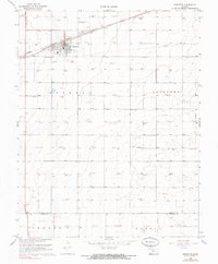
1968 Map of Sublette
USGS Topo · Published 1970About this map
The High Plains landscape surrounding Sublette in the late 1960s is defined by a dense grid of gas wells and energy infrastructure. The town serves as a central hub for the region, where the Atchison Topeka and Santa Fe railroad line cuts through the prairie, supporting the local agricultural and industrial economy. Near the town center, the local High Sch and a Radio Tower stand as prominent landmarks of the mid-century community.
Find a feature on this map
12 named features on this map. Tap any name to fly to it.
Don’t see what you’re looking for? This feature index may not catch every label — zoom into the map to look around manually.
Map Details
Editions of this 1968 Sublette Map
2 editions found
Other maps of this area

1896 · Garden
USGS Topo · 1:125,000

1955 · Dodge City
USGS Topo · 1:250,000

1958 · Dodge City
USGS Topo · 1:250,000

1959 · Dodge City
USGS Topo · 1:250,000

1960 · Garden City 3 SW
USGS Topo · 1:24,000

1960 · Garden City 3 SE
USGS Topo · 1:24,000

1968 · Plains SW
USGS Topo · 1:24,000

1968 · Sublette SW
USGS Topo · 1:24,000

1968 · Plains NW
USGS Topo · 1:24,000
1968 · Satanta
USGS Topo · 1:24,000