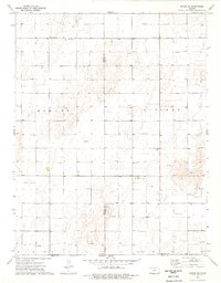
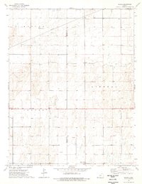
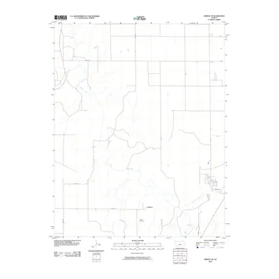
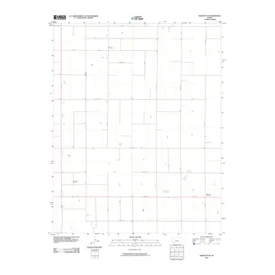
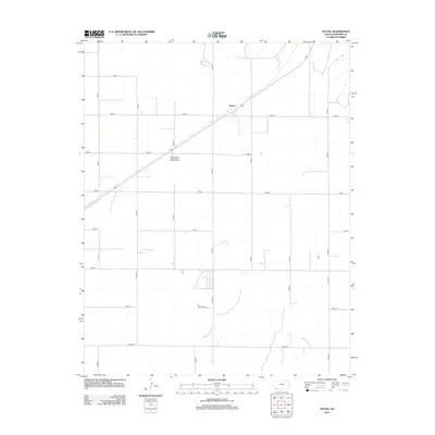
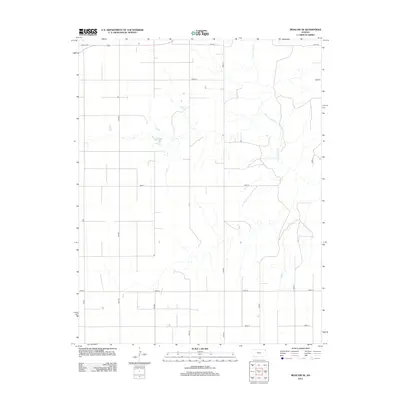
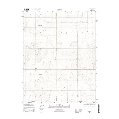
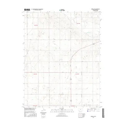
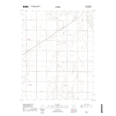
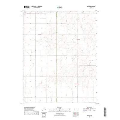
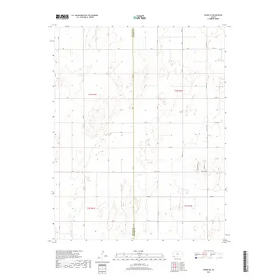
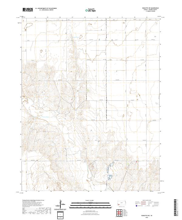
1968 Map of Sublette SW
USGS Topo · Published 1969About this map
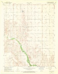
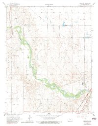
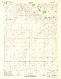
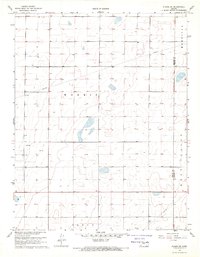
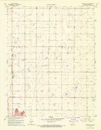
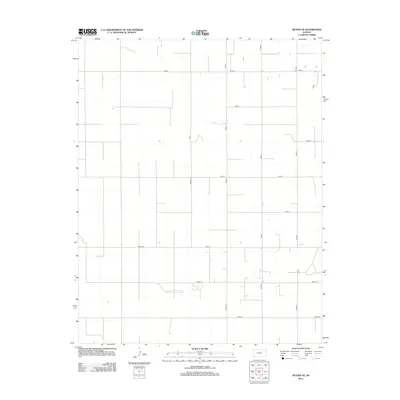
The Cimarron River winds through the southwestern corner of Seward County, defining a landscape increasingly shaped by the energy industry during the late 1960s. This survey by the U.S. Geological Survey reveals a dense network of resource extraction, with numerous instances of Gas Well and Oil Well sites dotting the plains. Industrial infrastructure is prominent, including a large Pipeline that cuts across the terrain, sometimes noted as Aboveground, and several Gravel Pits concentrated near the riverbank. Away from the water, the terrain is sparsely marked, with a few isolated water features like Mitchell Pond and a rugged Jeep Trail providing the only break in the grid of sections. The map serves as a detailed record of the intersection between natural prairie drainage and the expanding footprint of Kansas petroleum production.
Find a feature on this map
11 named features on this map. Tap any name to fly to it.
Don’t see what you’re looking for? This feature index may not catch every label — zoom into the map to look around manually.
Map Details
Editions of this 1968 Sublette SW Map
This is the sole edition of this map. No revisions or reprints were ever made.
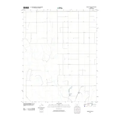
Historical Maps of Seward County Through Time
60 maps found
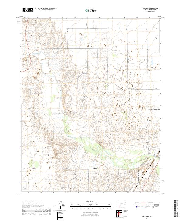
1968 Liberal NE
Seward County, KS
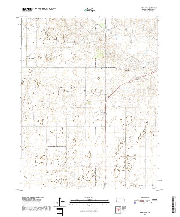
1968 Liberal NW
Seward County, KS
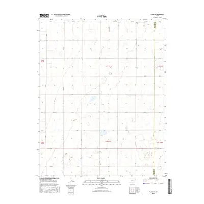
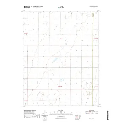
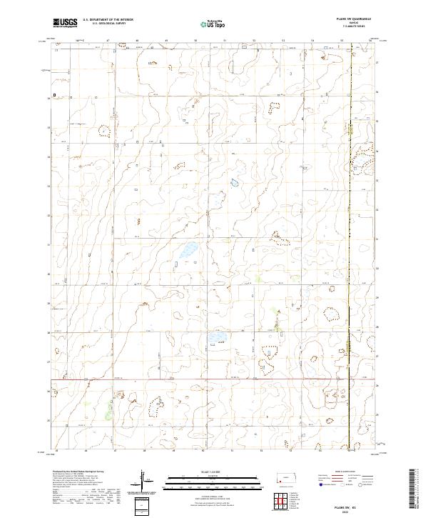
1968 Plains SW
Seward County, KS
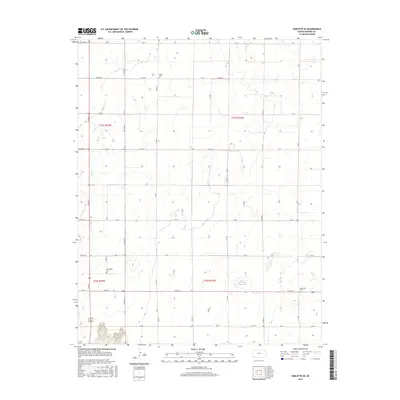
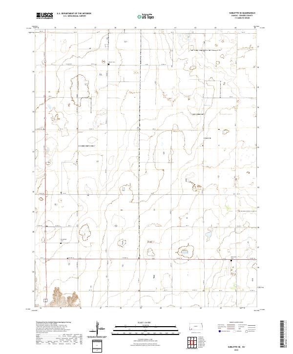
1968 Sublette SE
Seward County, KS
1968 Sublette SW
Seward County, KS
1971 Hayne
Seward County, KS
1971 Kismet SW
Seward County, KS
1974 Moscow SE
Seward County, KS
1974 Woods SE
Seward County, KS
1974 Woods
Seward County, KS
2010 Hayne
Seward County, KS
2010 Kismet SW
Seward County, KS
2010 Liberal NE
Seward County, KS
2010 Liberal NW
Seward County, KS
2010 Moscow SE
Seward County, KS
2010 Plains SW
Seward County, KS
2010 Sublette SE
Seward County, KS
2010 Sublette SW
Seward County, KS
2010 Woods SE
Seward County, KS
2010 Woods
Seward County, KS
2012 Hayne
Seward County, KS
2012 Kismet SW
Seward County, KS
2012 Liberal NE
Seward County, KS
2012 Liberal NW
Seward County, KS
2012 Moscow SE
Seward County, KS
2012 Plains SW
Seward County, KS
2012 Sublette SE
Seward County, KS
2012 Sublette SW
Seward County, KS
2012 Woods SE
Seward County, KS
2012 Woods
Seward County, KS
2015 Moscow SE
Seward County, KS
2015 Woods SE
Seward County, KS
2015 Woods
Seward County, KS
2016 Hayne
Seward County, KS
2016 Kismet SW
Seward County, KS
2016 Liberal NE
Seward County, KS
2016 Liberal NW
Seward County, KS
2016 Plains SW
Seward County, KS
2016 Sublette SE
Seward County, KS
2016 Sublette SW
Seward County, KS
2018 Hayne
Seward County, KS
2018 Kismet SW
Seward County, KS
2018 Liberal NE
Seward County, KS
2018 Liberal NW
Seward County, KS
2018 Moscow SE
Seward County, KS
2018 Plains SW
Seward County, KS
2018 Sublette SE
Seward County, KS
2018 Sublette SW
Seward County, KS
2018 Woods SE
Seward County, KS
2018 Woods
Seward County, KS
2022 Hayne
Seward County, KS
2022 Kismet SW
Seward County, KS
2022 Liberal NE
Seward County, KS
2022 Liberal NW
Seward County, KS
2022 Moscow SE
Seward County, KS
2022 Plains SW
Seward County, KS
2022 Sublette SE
Seward County, KS
2022 Sublette SW
Seward County, KS
2022 Woods SE
Seward County, KS
2022 Woods
Seward County, KS