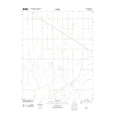
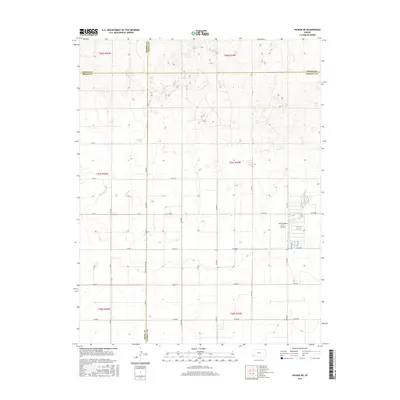
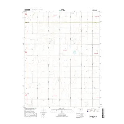
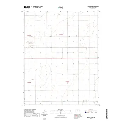
1968 Map of Plains NW
USGS Topo · Published 1977About this map
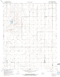
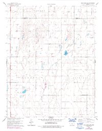
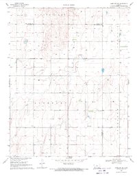
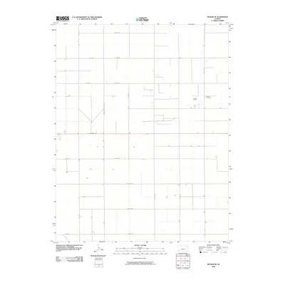
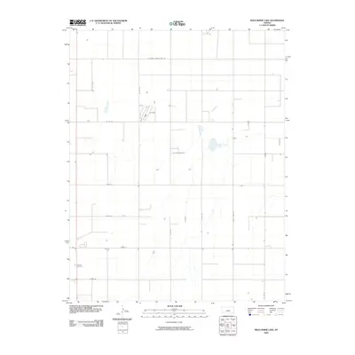
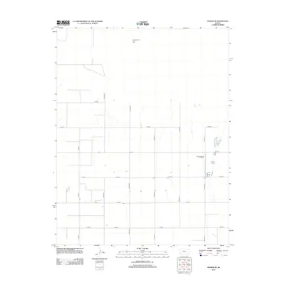
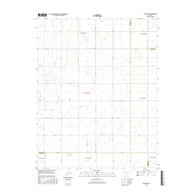
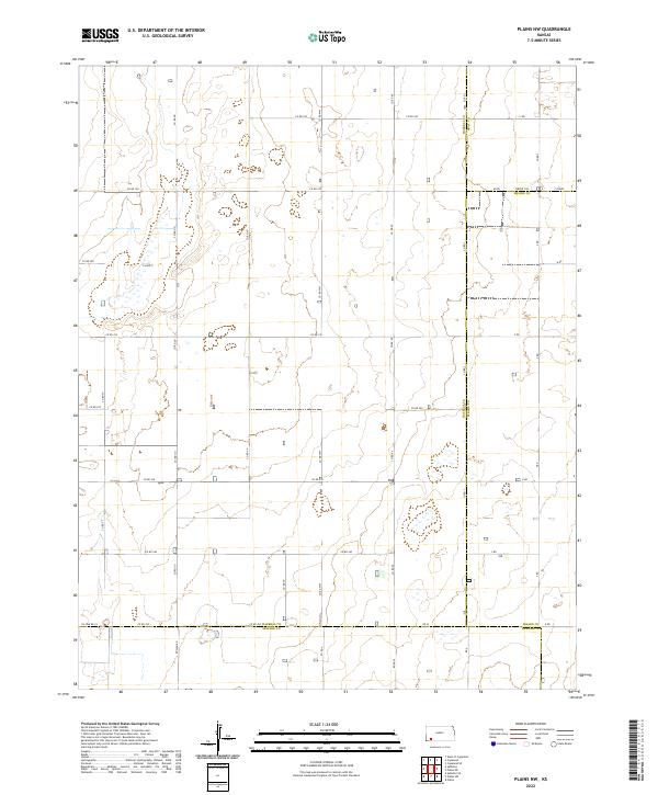
Ellsaesser Pond stands as a rare water feature in this portion of the High Plains, situated within the township of Lockport. This 1968 topography reflects a landscape defined by industrial extraction and agricultural organization, where numerous wells and gas wells dot the section lines. The map captures the meeting point of several jurisdictional boundaries, including Copeland, Merrill, and Morris townships, alongside the county lines for Haskell, Meade, and Seward. A prominent Radio Tower in the southwestern quadrant serves as a modern landmark amidst a grid of unimproved roads and farm fields. The land is characterized by subtle elevation changes, marked by five-foot contour intervals that reveal the gentle depressions and rises of the Kansas prairie during the late 1960s.
Find a feature on this map
9 named features on this map. Tap any name to fly to it.
Don’t see what you’re looking for? This feature index may not catch every label — zoom into the map to look around manually.
Map Details
Editions of this 1968 Plains NW Map
2 editions found
Historical Maps of Seward County Through Time
54 maps found
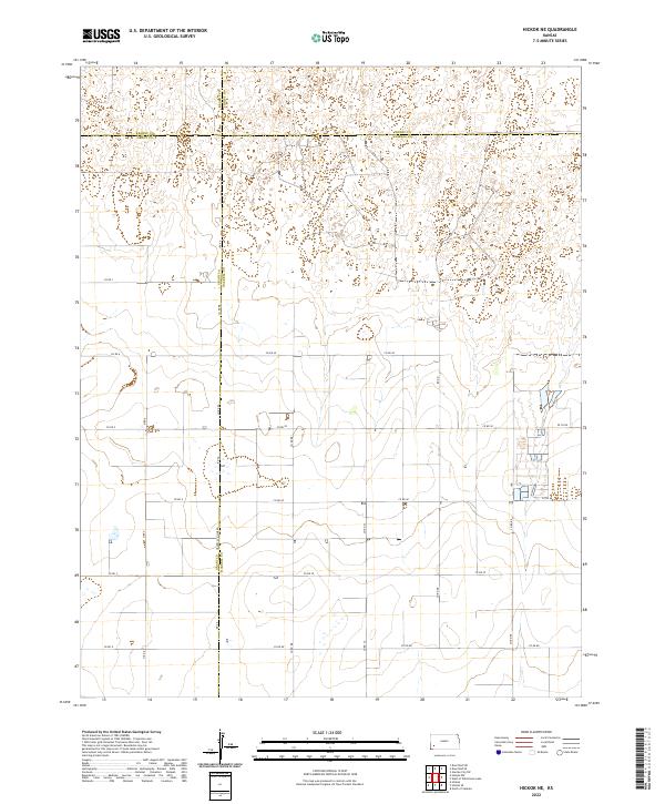
1959 Hickok NE
Haskell County, KS
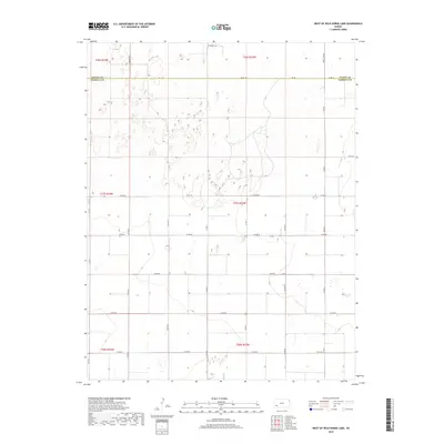
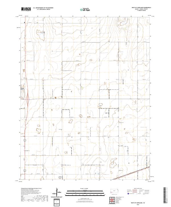
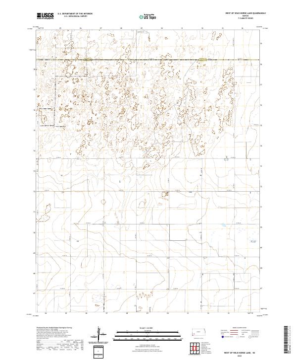
1959 West of Wild Horse Lake
Haskell County, KS
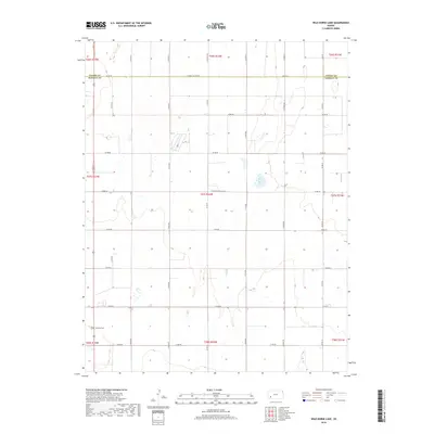
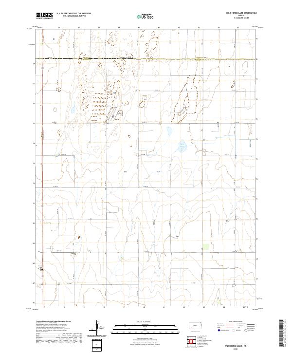
1959 Wild Horse Lake
Haskell County, KS
1960 Hickok SE
Haskell County, KS
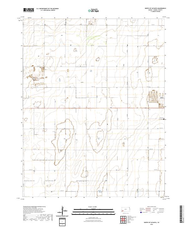
1960 North of Satanta
Haskell County, KS
1960 West of Copeland
Haskell County, KS
1968 Plains NW
Haskell County, KS
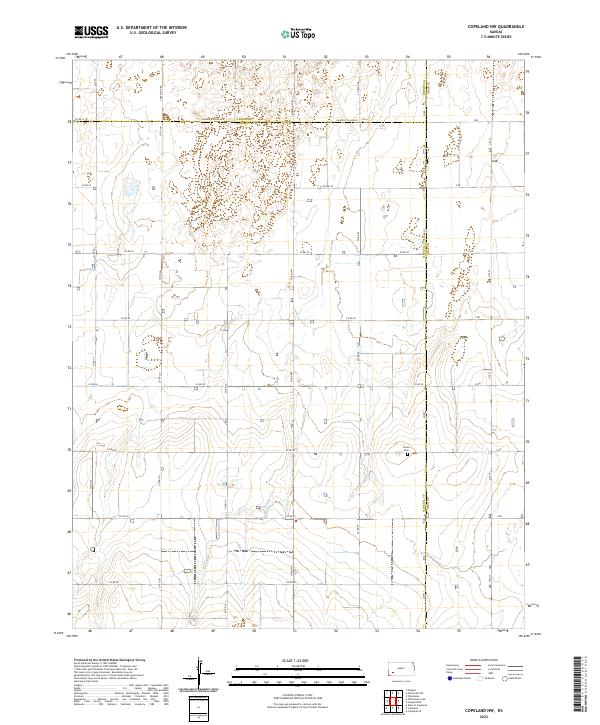
1969 Copeland NW
Haskell County, KS
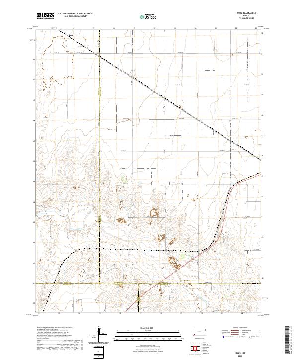
1975 Ryus
Haskell County, KS
2009 Copeland NW
Haskell County, KS
2009 Hickok NE
Haskell County, KS
2009 Hickok SE
Haskell County, KS
2009 North of Satanta
Haskell County, KS
2009 West of Copeland
Haskell County, KS
2009 West of Wild Horse Lake
Haskell County, KS
2009 Wild Horse Lake
Haskell County, KS
2010 Plains NW
Haskell County, KS
2010 Ryus
Haskell County, KS
2012 Copeland NW
Haskell County, KS
2012 Hickok NE
Haskell County, KS
2012 Hickok SE
Haskell County, KS
2012 North of Satanta
Haskell County, KS
2012 Plains NW
Haskell County, KS
2012 Ryus
Haskell County, KS
2012 West of Copeland
Haskell County, KS
2012 West of Wild Horse Lake
Haskell County, KS
2012 Wild Horse Lake
Haskell County, KS
2015 Hickok NE
Haskell County, KS
2016 Copeland NW
Haskell County, KS
2016 Hickok SE
Haskell County, KS
2016 North of Satanta
Haskell County, KS
2016 Plains NW
Haskell County, KS
2016 Ryus
Haskell County, KS
2016 West of Copeland
Haskell County, KS
2016 West of Wild Horse Lake
Haskell County, KS
2016 Wild Horse Lake
Haskell County, KS
2018 Copeland NW
Haskell County, KS
2018 Hickok NE
Haskell County, KS
2018 Hickok SE
Haskell County, KS
2018 North of Satanta
Haskell County, KS
2018 Plains NW
Haskell County, KS
2018 Ryus
Haskell County, KS
2018 West of Copeland
Haskell County, KS
2018 West of Wild Horse Lake
Haskell County, KS
2018 Wild Horse Lake
Haskell County, KS
2022 Copeland NW
Haskell County, KS
2022 Hickok NE
Haskell County, KS
2022 Hickok SE
Haskell County, KS
2022 North of Satanta
Haskell County, KS
2022 Plains NW
Haskell County, KS
2022 Ryus
Haskell County, KS
2022 West of Copeland
Haskell County, KS
2022 West of Wild Horse Lake
Haskell County, KS
2022 Wild Horse Lake
Haskell County, KS