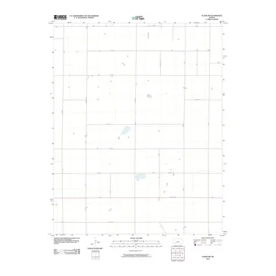
2010 Map of Plains SW
USGS Topo · Published 2010About this map
US Hwy 160 serves as the primary east-west artery across this rural landscape in Seward County, intersecting a highly structured grid of county roads and section lines. The terrain is characterized by sparse agricultural improvements and scattered water features, with Rosson Rd and Co Rd S defining the western reaches of the quadrangle. This 2010 survey illustrates the enduring Jeffersonian grid system used to organize the High Plains, where access is provided by named routes like Co Rd V and Co Rd X. The map preserves the exact placement of rural homesteads and structures as they appeared in the early 21st century, linked by a network of local thoroughfares including Co Rd 19, Co Rd 20, and 17 Rd.
Find a feature on this map
16 named features on this map. Tap any name to fly to it.
Don’t see what you’re looking for? This feature index may not catch every label — zoom into the map to look around manually.
Map Details
Editions of this 2010 Plains SW Map
This is the sole edition of this map. No revisions or reprints were ever made.
Other maps of this area

1955 · Dodge City
USGS Topo · 1:250,000

1958 · Dodge City
USGS Topo · 1:250,000

1959 · Dodge City
USGS Topo · 1:250,000

1963 · Plains
USGS Topo · 1:24,000

1963 · Kismet NE
USGS Topo · 1:24,000

1967 · Plains NE
USGS Topo · 1:24,000

1968 · Plains SW
USGS Topo · 1:24,000

1968 · Plains NW
USGS Topo · 1:24,000

1968 · Liberal NE
USGS Topo · 1:24,000

1968 · Sublette SE
USGS Topo · 1:24,000