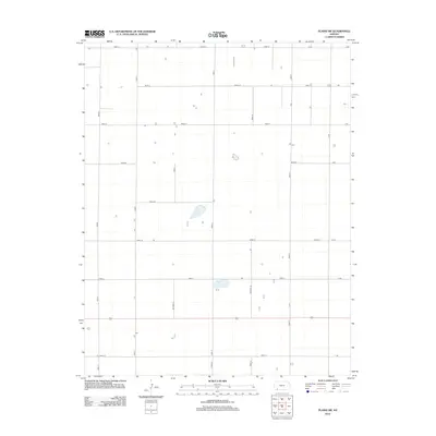
2012 Map of Plains SW
USGS Topo · Published 2012About this map
The agrarian landscape of Seward County is defined here by a rigid grid of rural corridors, including north-south routes like Road S and Road V that segment the High Plains terrain. This 2012 survey illustrates the methodical organization of Kansas farmland, where section lines are traced by an expansive network of local thoroughfares such as Road 23 and Road 15. The sparse distribution of structures across the quadrangle highlights the industrial scale of modern agriculture, with isolated farmsteads situated at long intervals along the gravel and dirt ways. Small intermittent water bodies and depressions are scattered throughout the interior, often accessed by secondary paths like Road U or Road W, providing essential drainage in this relatively flat prairie environment.
Find a feature on this map
23 named features on this map. Tap any name to fly to it.
Don’t see what you’re looking for? This feature index may not catch every label — zoom into the map to look around manually.
Map Details
Editions of this 2012 Plains SW Map
This is the sole edition of this map. No revisions or reprints were ever made.
Other maps of this area

1955 · Dodge City
USGS Topo · 1:250,000

1958 · Dodge City
USGS Topo · 1:250,000

1959 · Dodge City
USGS Topo · 1:250,000

1963 · Plains
USGS Topo · 1:24,000

1963 · Kismet NE
USGS Topo · 1:24,000

1967 · Plains NE
USGS Topo · 1:24,000

1968 · Plains SW
USGS Topo · 1:24,000

1968 · Plains NW
USGS Topo · 1:24,000

1968 · Liberal NE
USGS Topo · 1:24,000

1968 · Sublette SE
USGS Topo · 1:24,000