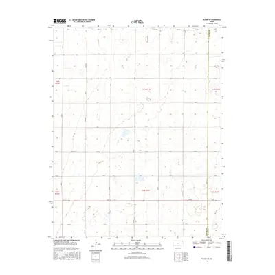
2016 Map of Plains SW
USGS Topo · Published 2016About this map
High plains agriculture and the rigid geometry of the Public Land Survey System define this portion of Southwest Kansas. Located along the Seward Co Meade Co line, the landscape is organized by a precise grid of rural routes, including Rosson Rd, Road S, and Burr Rd. This 2016 survey illustrates the modern layout of the shortgrass prairie, where section lines dictate the placement of farmsteads and transport corridors. The primary east-west artery is Highway 160, which bisects the southern half of the quadrangle. Intermittent wetlands and depressions appear across the terrain, interrupting the regularity of the townships and ranges. Local connectivity is maintained through an extensive network of county roads such as Co Rd 16, Co Rd 18, and Co Rd T, providing a detailed look at the infrastructure supporting the region's ranching and farming operations.
Find a feature on this map
40 named features on this map. Tap any name to fly to it.
Don’t see what you’re looking for? This feature index may not catch every label — zoom into the map to look around manually.
Map Details
Editions of this 2016 Plains SW Map
This is the sole edition of this map. No revisions or reprints were ever made.
Other maps of this area

1955 · Dodge City
USGS Topo · 1:250,000

1958 · Dodge City
USGS Topo · 1:250,000

1959 · Dodge City
USGS Topo · 1:250,000

1963 · Plains
USGS Topo · 1:24,000

1963 · Kismet NE
USGS Topo · 1:24,000

1967 · Plains NE
USGS Topo · 1:24,000

1968 · Plains SW
USGS Topo · 1:24,000

1968 · Plains NW
USGS Topo · 1:24,000

1968 · Liberal NE
USGS Topo · 1:24,000

1968 · Sublette SE
USGS Topo · 1:24,000