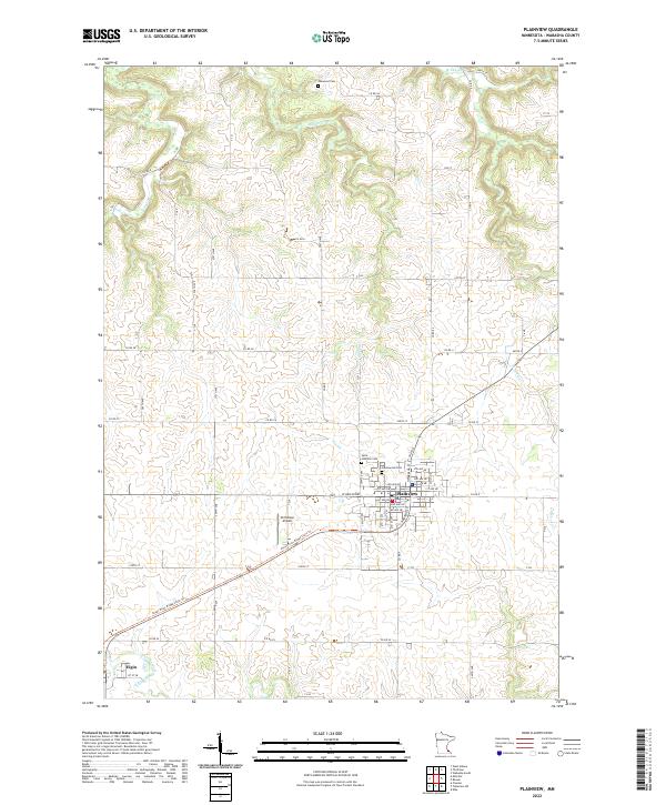
2022 Map of Plainview
USGS Topo · Published 2022About this map
Plainview serves as the primary hub of this Wabasha County landscape, where the town grid is well-defined by local thoroughfares like W Broadway and several numbered avenues. The surrounding area is characterized by a dense network of watercourses, including Middle Cr, W Indian Cr, and the N Fork Whitewater River, which have shaped the local topography. For those researching family history, the map identifies three significant burial grounds: Oakwood Cem to the north, and Greenwood Cem and Saint Joachim Cem situated closer to the town center. Transportation and recreation are visible through the presence of Christison Airport and the Great River Ridge State Trl, which follows a former rail corridor toward the neighboring settlement of Elgin.
Find a feature on this map
71 named features on this map. Tap any name to fly to it.
Don’t see what you’re looking for? This feature index may not catch every label — zoom into the map to look around manually.
Map Details
Editions of this 2022 Plainview Map
This is the sole edition of this map. No revisions or reprints were ever made.
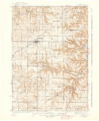
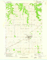
Historical Maps of Plainview Through Time
4 maps found