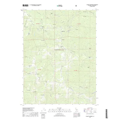
2018 Map of Plaskett Meadows
USGS Topo · Published 2018About this map
Mendocino National Forest defines this high-elevation landscape in Glenn County, where the 2018 terrain is marked by sharp ridges and significant glades. The area is anchored by Plaskett Meadows, a notable high-country landmark, while the small names of Copper City and Lone Star recall the remote outposts of the northern Coast Range. The transportation network is built upon the spine of Forest Highway Seven and specialized routes like Black Butte Scenic Boundary Road, serving both recreation and resource management.
Find a feature on this map
60 named features on this map. Tap any name to fly to it.
Don’t see what you’re looking for? This feature index may not catch every label — zoom into the map to look around manually.
Map Details
Editions of this 2018 Plaskett Meadows Map
This is the sole edition of this map. No revisions or reprints were ever made.
Other maps of this area

1919 · Elk Creek
USGS Topo · 1:62,500

1948 · Elk Creek
USGS Topo · 1:62,500

1952 · Paskenta
USGS Topo · 1:62,500

1952 · Hull Mountain
USGS Topo · 1:62,500

1952 · Anthony Peak
USGS Topo · 1:62,500

1957 · Elk Creek
USGS Topo · 1:62,500

1957 · Ukiah
USGS Topo · 1:250,000

1960 · Ukiah
USGS Topo · 1:250,000

1967 · Plaskett Ridge
USGS Topo · 1:24,000
1967 · Plaskett meadows
USGS Topo · 1:24,000