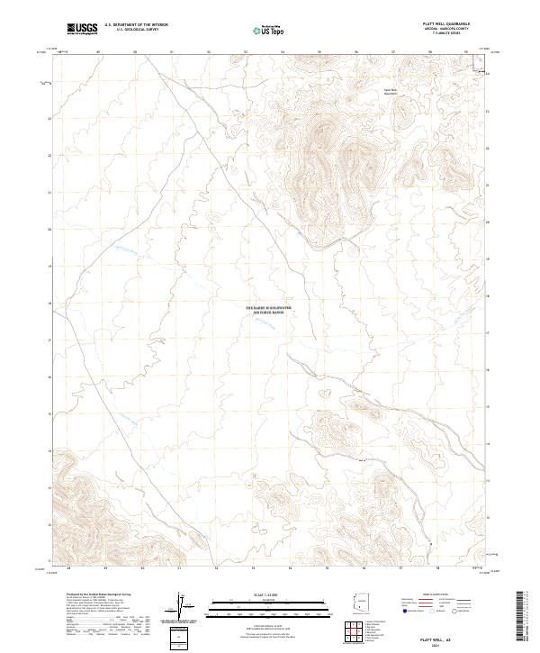
2021 Map of Platt Well
USGS Topo · Published 2021About this map
Sand Tank Mountains dominate the northeastern reaches of this Maricopa County terrain, where the high ridges give way to an extensive network of drainage basins. The arid landscape is defined by the course of Quilotosa Wash, which meanders across the central and eastern sections, and Sauceda Wash in the southwest. This 2021 survey reveals a territory largely devoid of modern development, preserved instead as a complex topography of alluvial fans and mountain slopes. The lack of built infrastructure highlights the natural hydrology of the Sonoran Desert, making it a critical reference for understanding the primitive drainage patterns and land divisions within the Public Land Survey System, including townships t8s r3w and t9s r3w.
Find a feature on this map
9 named features on this map. Tap any name to fly to it.
Don’t see what you’re looking for? This feature index may not catch every label — zoom into the map to look around manually.
Map Details
Editions of this 2021 Platt Well Map
This is the sole edition of this map. No revisions or reprints were ever made.
Other maps of this area

1951 · Estrella
USGS Topo · 1:62,500

1951 · Gila Bend
USGS Topo · 1:62,500

1953 · Ajo
USGS Topo · 1:250,000

1957 · Ajo
USGS Topo · 1:250,000

1958 · Ajo
USGS Topo · 1:250,000

1958 · Kaka
USGS Topo · 1:62,500

1958 · Hat Mountain
USGS Topo · 1:62,500

1962 · Ajo
USGS Topo · 1:250,000

1963 · Ajo
USGS Topo · 1:250,000

1967 · Ajo
USGS Topo · 1:250,000