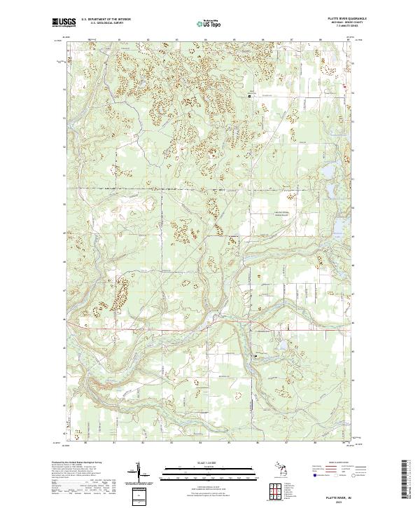
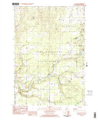
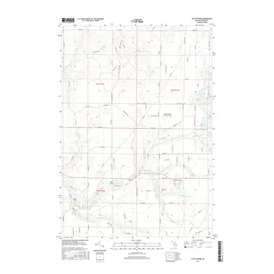
2023 Map of Platte River
USGS Topo · Published 2023About this map
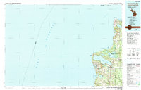
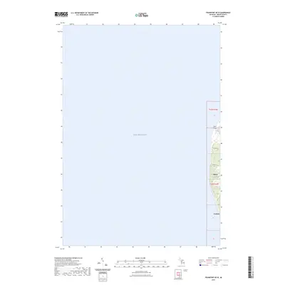
The Platte River meanders through the heart of this Benzie County landscape, defining a network of wetlands and glacial lakes. This modern mapping reveals a balance of recreational land and preserved rural character, highlighted by the presence of the Shore to Shore Trl and the Lake Ann Airway Estates Airport. Genealogy and local history researchers will find the West Almira Cem in the north and the Brundage Cem near the southern bend of the river, providing exact spatial context for family sites. Numerous water bodies including Pigeon Lake, Eliza Lake, and Lake Louise are connected by smaller tributaries like Stanley Creek and Brundage Creek. The landscape is also dotted with natural landmarks such as Platte Springs and the North Branch Platte River, which feed into the primary river system that dominates the township boundaries of T27N R14W and T26N R13W.
Find a feature on this map
93 named features on this map. Tap any name to fly to it.
Don’t see what you’re looking for? This feature index may not catch every label — zoom into the map to look around manually.
Map Details
Editions of this 2023 Platte River Map
This is the sole edition of this map. No revisions or reprints were ever made.
Historical Maps of Inland Township Through Time
18 maps found
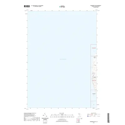
1976 Frankfort NE
Benzie County, MI
1976 Frankfort NW
Benzie County, MI
1976 Frankfort SE
Benzie County, MI
1976 Frankfort SW
Benzie County, MI
1976 Thompsonville NW
Benzie County, MI
1976 Thompsonville SW
Benzie County, MI
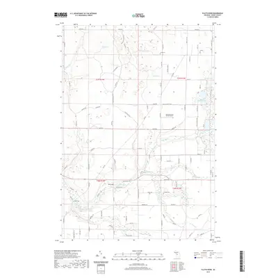
1983 Platte River
Benzie County, MI
1984 Crystal Lake
Benzie County, MI
2011 Frankfort OE W
Benzie County, MI
2011 Platte River
Benzie County, MI

2014 Frankfort OE W
Benzie County, MI
2014 Platte River
Benzie County, MI
2017 Frankfort OE W
Benzie County, MI
2017 Platte River
Benzie County, MI
2019 Frankfort OE W
Benzie County, MI
2019 Platte River
Benzie County, MI
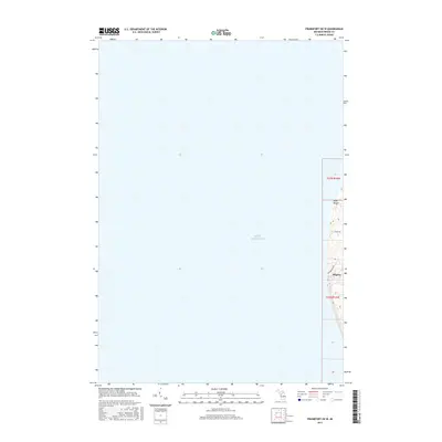
2023 Frankfort OE W
Benzie County, MI
2023 Platte River
Benzie County, MI
Featured Locations
- Platte Township, MI
- Almira Township, MI
- Homestead Township, MI
- Inland Township, MI
- Platte River, Inland Township