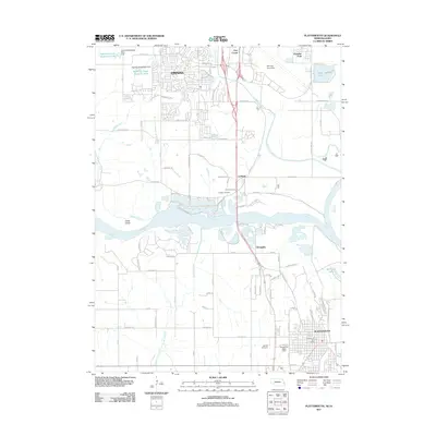
2011 Map of Plattsmouth
USGS Topo · Published 2011About this map
Plattsmouth anchors the southern landscape of this 2011 survey, situated where the Platte River converges with the Missouri River valley. The geography is defined by a complex hydrology of braided channels and flood control measures, including the Dentention Dam 10-A and several reservoirs like Papillion Creek Reservoir S-31 that protect the low-lying settlements. North of the river, the presence of Offutt Air Force Base and the edge of Omaha indicate the area's modern strategic importance and urban expansion.
Find a feature on this map
94 named features on this map. Tap any name to fly to it.
Don’t see what you’re looking for? This feature index may not catch every label — zoom into the map to look around manually.
Map Details
Editions of this 2011 Plattsmouth Map
This is the sole edition of this map. No revisions or reprints were ever made.
Other maps of this area

1893 · Fremont
USGS Topo · 1:125,000

1896 · Fremont
USGS Topo · 1:125,000

1903 · Weeping Water
USGS Topo · 1:125,000

1929 · Weeping Water
USGS Topo · 1:125,000

1935 · Nehawka
USGS Topo · 1:48,000

1940 · Nehawka
USGS Topo · 1:62,500

1954 · Omaha
USGS Topo · 1:250,000

1955 · Fremont
USGS Topo · 1:250,000

1955 · Nebraska City
USGS Topo · 1:250,000

1955 · Lincoln
USGS Topo · 1:250,000