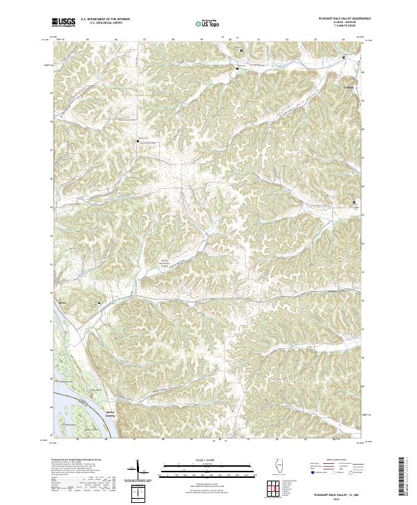
2024 Map of Pleasant Dale Valley
USGS Topo · Published 2024About this map
The Mississippi River forms a jagged western boundary for this terrain where the Illinois-Missouri state line cuts through the river channel and its shifting islands. This landscape is defined by the deep incisions of the Pleasant Dale Valley and numerous named hollows that drain toward the floodplain. Small riverfront clusters like Mozier and Mozier Landing mark the interface between the high bluffs and the water, while the interior is dotted with legacy burial grounds including Hillcrest Cem and Silver Creek Cem.
Find a feature on this map
38 named features on this map. Tap any name to fly to it.
Don’t see what you’re looking for? This feature index may not catch every label — zoom into the map to look around manually.
Map Details
Editions of this 2024 Pleasant Dale Valley Map
This is the sole edition of this map. No revisions or reprints were ever made.
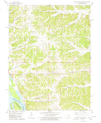
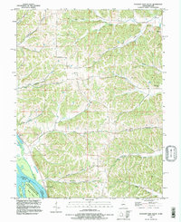
Historical Maps of Cliffdale Through Time
3 maps found