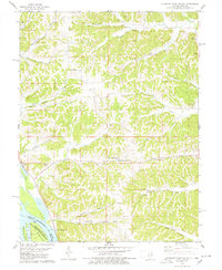
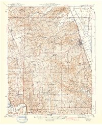
1978 Map of Pleasant Dale Valley
USGS Topo · Published 1978About this map
Mississippi River wetlands and the complex drainage of the Illinois river bluffs define this 1970s landscape near the border of Calhoun and Pike Counties. The riverfront is dominated by the Upper Mississippi River State Wildlife Management Area, encompassing islands like Mozier Island and Dog Island. Inland, the terrain is carved by numerous hollows, including Pancake Hollow and Mozier Hollow, where small family burial grounds and country churches like Hillcrest Church and Summit Grove Church are tucked into the hillsides.
Find a feature on this map
35 named features on this map. Tap any name to fly to it.
Don’t see what you’re looking for? This feature index may not catch every label — zoom into the map to look around manually.
Map Details
Editions of this 1978 Pleasant Dale Valley Map
This is the sole edition of this map. No revisions or reprints were ever made.
Other maps of this area

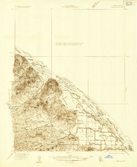
1930 · Pearl
USGS Topo · 1:62,500

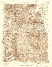
1930 · Nebo
USGS Topo · 1:62,500

1930 · Hardin
USGS Topo · 1:62,500
1934 · Nebo
USGS Topo · 1:48,000
1934 · Elsberry
USGS Topo · 1:48,000

1934 · Hardin
USGS Topo · 1:62,500

1938 · Hardin
USGS Topo · 1:62,500
1942 · Nebo
USGS Topo · 1:62,500
1942 · Elsberry
USGS Topo · 1:62,500

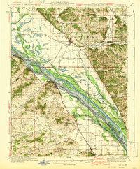
1948 · Quincy
USGS Topo · 1:250,000