
1934 Map of Nebo
USGS Topo · Published 1934About this map
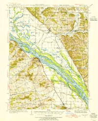
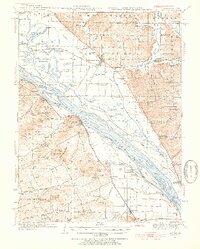
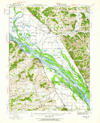
The Mississippi River dominates this mid-1930s landscape, weaving past a complex network of islands and sloughs including Pharrs Island, Carroll Island, and Grimes Island. Along the Missouri bank, the Chicago Burlington and Quincy railroad connects the riverside settlements of Clarksville and Annada. The inland terrain is defined by numerous named peaks such as Buckskin Knob and Ben Watts Knob, reflecting a rugged topography where small communities and social centers took root. Genealogists will find significant detail in the placement of rural institutions like Dover Ch, the Corinth Cem, and several one-room schoolhouses such as Salem Sch and Aker Sch. The survey also documents the local drainage patterns of Ramsey Creek and Guinns Creek, providing a clear view of the area's agricultural and social layout before mid-century modernization altered the riverfront.
Find a feature on this map
57 named features on this map. Tap any name to fly to it.
Don’t see what you’re looking for? This feature index may not catch every label — zoom into the map to look around manually.
Map Details
Editions of this 1934 Nebo Map
4 editions found
Other maps of this area

1890 · Louisiana
USGS Topo · 1:125,000

1924 · Griggsville
USGS Topo · 1:62,500

1926 · Griggsville
USGS Topo · 1:62,500

1926 · Pittsfield
USGS Topo · 1:62,500

1930 · Pearl
USGS Topo · 1:62,500

1930 · Nebo
USGS Topo · 1:62,500

1930 · Hardin
USGS Topo · 1:62,500

1931 · Barry
USGS Topo · 1:62,500

1934 · Elsberry
USGS Topo · 1:48,000

1934 · Hardin
USGS Topo · 1:62,500