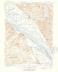
1934 Map of Nebo
USGS Topo · Published 1955About this map
The Mississippi River dominates this mid-1930s landscape, serving as the border between Illinois and Missouri. The river is characterized by a complex network of side channels and islands, such as Pharrs Island, Slim Island, and Mc Coy Island. On the Missouri side, the terrain rises sharply into a series of named peaks including The Pinnacle and Robert Hill, while the Illinois floodplain is crisscrossed by drainage features like Sny Slough and Cocklebur Slough.
Find a feature on this map
133 named features on this map. Tap any name to fly to it.
Don’t see what you’re looking for? This feature index may not catch every label — zoom into the map to look around manually.
Map Details
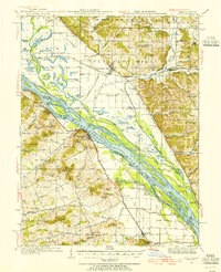
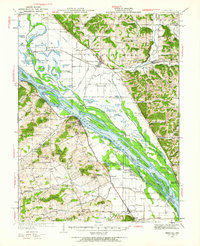
Editions of this 1934 Nebo Map
4 editions found
Other maps of this area

1890 · Louisiana
USGS Topo · 1:125,000

1924 · Griggsville
USGS Topo · 1:62,500

1926 · Griggsville
USGS Topo · 1:62,500

1926 · Pittsfield
USGS Topo · 1:62,500

1930 · Pearl
USGS Topo · 1:62,500

1930 · Nebo
USGS Topo · 1:62,500

1930 · Hardin
USGS Topo · 1:62,500

1931 · Barry
USGS Topo · 1:62,500

1934 · Nebo
USGS Topo · 1:48,000

1934 · Elsberry
USGS Topo · 1:48,000