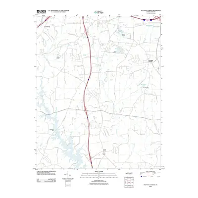
2010 Map of Pleasant Garden
USGS Topo · Published 2010About this map
Deep River and Polecat Creek define the drainage of this Piedmont landscape south of Greensboro, where established rural communities and newer residential developments sit alongside one another. The map documents long-standing crossroads and local industry sites like Coltranes Mill and Level Cross, while the growth of Pleasant Garden is marked by a network of suburban roads such as W Steeple Chase Rd and Friendly Farms Rd. Family names are deeply embedded in the geography, appearing on thoroughfares like Newman Davis Rd, Coltrane Mill Rd, and Stanton Farm Rd. Numerous small reservoirs and dams, including Benbow Lake Dam and Hunt Lake Dam, reflect the management of local waterways for recreation and community use. In the northwest, the map captures the youth-focused landmark Camp Douglas Long, situated near the headwaters of Hickory Creek.
Find a feature on this map
81 named features on this map. Tap any name to fly to it.
Don’t see what you’re looking for? This feature index may not catch every label — zoom into the map to look around manually.
Map Details
Editions of this 2010 Pleasant Garden Map
This is the sole edition of this map. No revisions or reprints were ever made.
Other maps of this area

1950 · High Point East
USGS Topo · 1:24,000

1951 · High Point East
USGS Topo · 1:24,000

1951 · Guilford
USGS Topo · 1:24,000

1951 · Greensboro
USGS Topo · 1:24,000

1952 · Mc Leansville
USGS Topo · 1:24,000

1953 · Raleigh
USGS Topo · 1:250,000

1953 · Greensboro
USGS Topo · 1:250,000

1954 · Greensboro
USGS Topo · 1:250,000

1954 · Raleigh
USGS Topo · 1:250,000

1962 · Greensboro
USGS Topo · 1:250,000