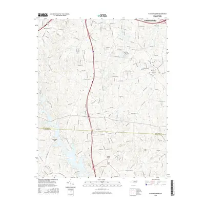
2016 Map of Pleasant Garden
USGS Topo · Published 2016About this map
Pleasant Garden and Level Cross anchor this 2016 survey of the Piedmont landscape south of Greensboro, where the Guilford Co and Randolph Co line bisects a terrain defined by small water bodies and rural road networks. The northern edge shows the southern reach of Greensboro and the community of Groometown, while the center is dominated by the drainage patterns of Polecat Cr and Hickory Cr.
Find a feature on this map
162 named features on this map. Tap any name to fly to it.
Don’t see what you’re looking for? This feature index may not catch every label — zoom into the map to look around manually.
Map Details
Editions of this 2016 Pleasant Garden Map
This is the sole edition of this map. No revisions or reprints were ever made.
Other maps of this area

1950 · High Point East
USGS Topo · 1:24,000

1951 · High Point East
USGS Topo · 1:24,000

1951 · Guilford
USGS Topo · 1:24,000

1951 · Greensboro
USGS Topo · 1:24,000

1952 · Mc Leansville
USGS Topo · 1:24,000

1953 · Raleigh
USGS Topo · 1:250,000

1953 · Greensboro
USGS Topo · 1:250,000

1954 · Greensboro
USGS Topo · 1:250,000

1954 · Raleigh
USGS Topo · 1:250,000

1962 · Greensboro
USGS Topo · 1:250,000