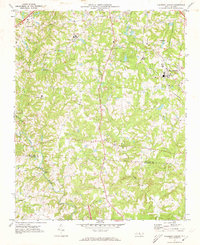
1970 Map of Pleasant Garden
USGS Topo · Published 1973About this map
Pleasant Garden and its surrounding countryside represent a late 20th-century transition between agricultural tradition and suburban expansion. The Southern railroad line runs north-south through the village, anchoring the settlement pattern near Ritters Lake. The landscape is densely populated with community cornerstones, including Burnetts Chapel, Rehobeth Ch, and Cedar Square Ch, alongside schools like Sumner Sch and Southern Guilford High Sch.
Find a feature on this map
33 named features on this map. Tap any name to fly to it.
Don’t see what you’re looking for? This feature index may not catch every label — zoom into the map to look around manually.
Map Details
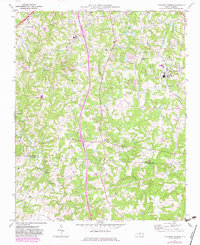
Editions of this 1970 Pleasant Garden Map
2 editions found
Other maps of this area

1950 · High Point East
USGS Topo · 1:24,000

1951 · High Point East
USGS Topo · 1:24,000

1951 · Guilford
USGS Topo · 1:24,000

1951 · Greensboro
USGS Topo · 1:24,000

1952 · Mc Leansville
USGS Topo · 1:24,000

1953 · Raleigh
USGS Topo · 1:250,000

1953 · Greensboro
USGS Topo · 1:250,000

1954 · Greensboro
USGS Topo · 1:250,000

1954 · Raleigh
USGS Topo · 1:250,000

1962 · Greensboro
USGS Topo · 1:250,000