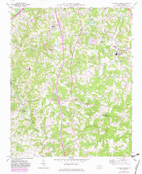
1970 Map of Pleasant Garden
USGS Topo · Published 1983About this map
Pleasant Garden and the surrounding Piedmont landscape of the early 1970s appear here during a period of transition as the Southern railroad line connects rural communities to the growing Greensboro corridor. The map highlights a dense network of local institutions, including Rehobeth Ch, Sumner Ch, and Burnetts Chapel, which alongside numerous cemeteries, anchor the social geography of the region.
Find a feature on this map
31 named features on this map. Tap any name to fly to it.
Don’t see what you’re looking for? This feature index may not catch every label — zoom into the map to look around manually.
Map Details
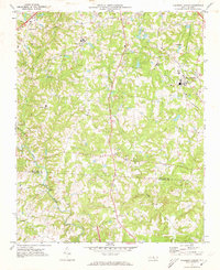
Editions of this 1970 Pleasant Garden Map
2 editions found
Other maps of this area

1950 · High Point East
USGS Topo · 1:24,000

1951 · High Point East
USGS Topo · 1:24,000

1951 · Guilford
USGS Topo · 1:24,000

1951 · Greensboro
USGS Topo · 1:24,000

1952 · Mc Leansville
USGS Topo · 1:24,000

1953 · Raleigh
USGS Topo · 1:250,000

1953 · Greensboro
USGS Topo · 1:250,000

1954 · Greensboro
USGS Topo · 1:250,000

1954 · Raleigh
USGS Topo · 1:250,000

1962 · Greensboro
USGS Topo · 1:250,000