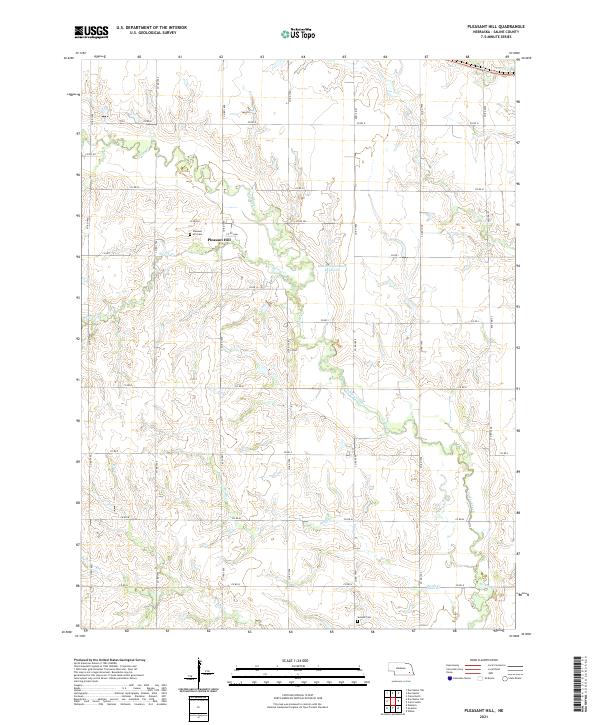
2021 Map of Pleasant Hill
USGS Topo · Published 2021About this map
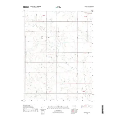
Pleasant Hill serves as the focal point of this Saline County landscape, where the rural grid is defined by a dense network of sectional roads and meandering waterways. The drainage pattern is dominated by the winding path of Turkey Creek and its many tributaries, including Spring Cr and Otoe Cr. These streams carve through the terrain, creating a complex series of draws and ridges that break the regularity of the surrounding agricultural fields.
Find a feature on this map
36 named features on this map. Tap any name to fly to it.
Don’t see what you’re looking for? This feature index may not catch every label — zoom into the map to look around manually.
Map Details
Editions of this 2021 Pleasant Hill Map
This is the sole edition of this map. No revisions or reprints were ever made.
Historical Maps of Pleasant Hill Through Time
30 maps found
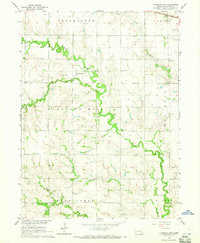
1964 Crete North
Saline County, NE
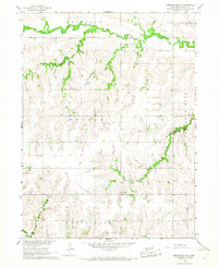
1964 Crete South
Saline County, NE
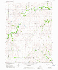
1964 Dorchester NW
Saline County, NE
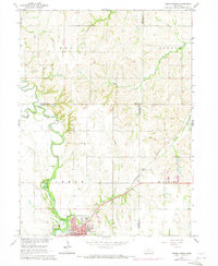
1964 Pleasant Hill
Saline County, NE
1966 Dorchester SW
Saline County, NE
1966 Friend SE
Saline County, NE
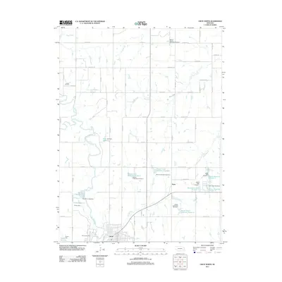
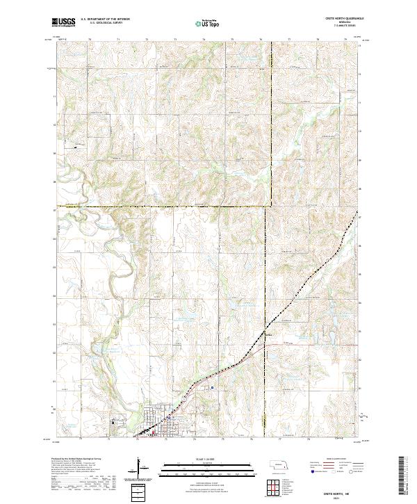
2011 Crete North
Saline County, NE
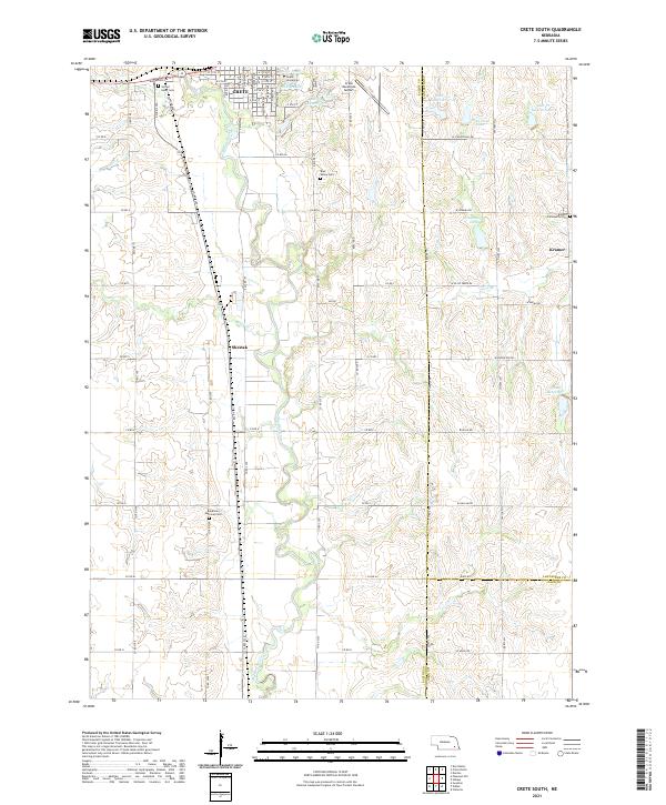
2011 Crete South
Saline County, NE
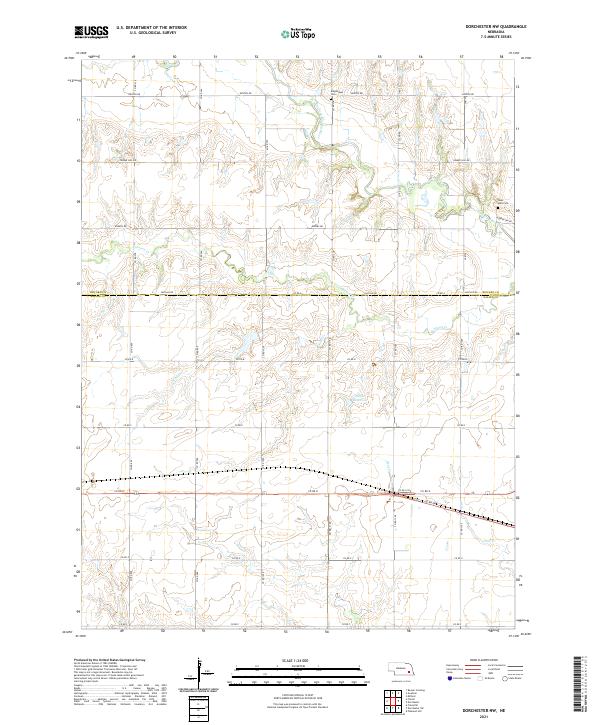
2011 Dorchester NW
Saline County, NE
2011 Dorchester SW
Saline County, NE
2011 Friend SE
Saline County, NE
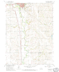
2011 Pleasant Hill
Saline County, NE
2014 Crete North
Saline County, NE
2014 Crete South
Saline County, NE
2014 Dorchester NW
Saline County, NE
2014 Dorchester SW
Saline County, NE
2014 Friend SE
Saline County, NE
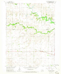
2014 Pleasant Hill
Saline County, NE
2017 Crete North
Saline County, NE
2017 Crete South
Saline County, NE
2017 Dorchester NW
Saline County, NE
2017 Dorchester SW
Saline County, NE
2017 Friend SE
Saline County, NE
2017 Pleasant Hill
Saline County, NE
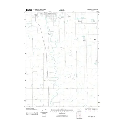
2021 Crete North
Saline County, NE
2021 Crete South
Saline County, NE
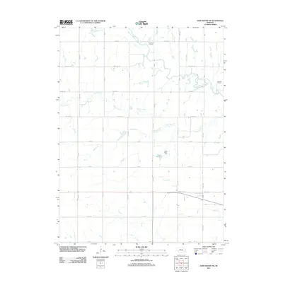
2021 Dorchester NW
Saline County, NE
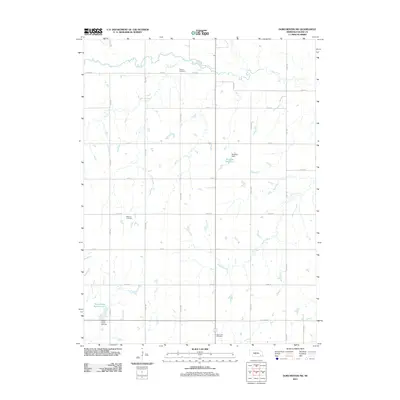
2021 Dorchester SW
Saline County, NE
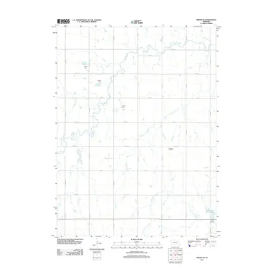
2021 Friend SE
Saline County, NE
2021 Pleasant Hill
Saline County, NE