Loading...
Loading map...2024 Map of Pleasant Mound
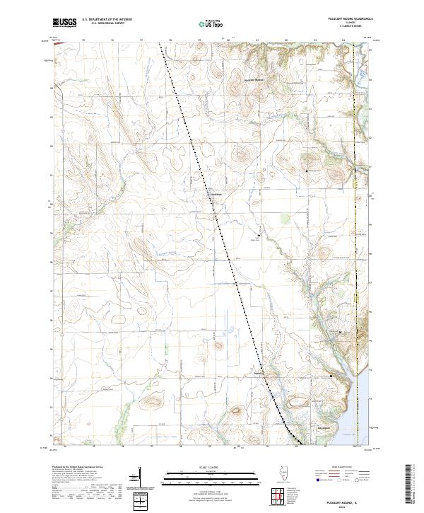
USGS Topo · Published 2024About this map
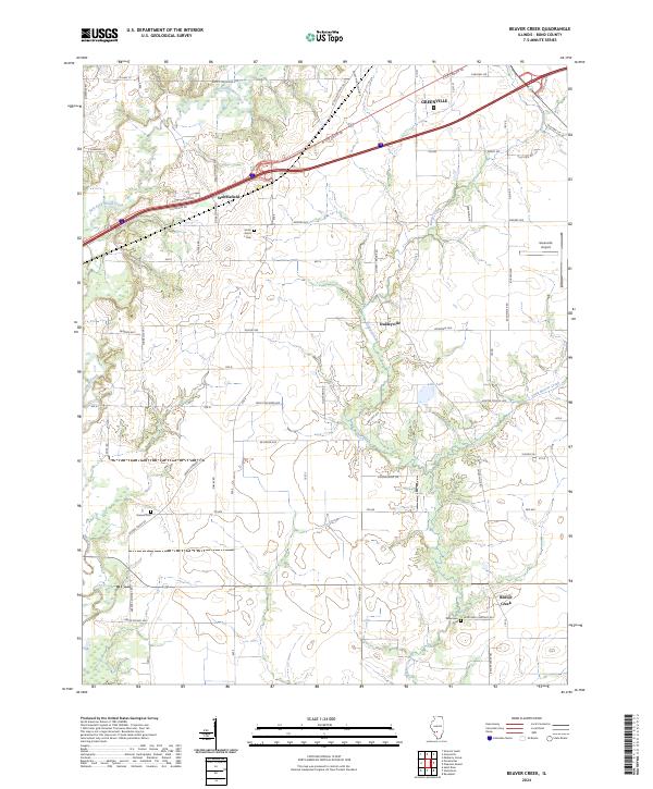
The agrarian landscape of the Bond and Fayette county line is defined by a grid of rural roads and small rural centers. This modern survey shows the northern reaches of Carlyle Lake, where the Keysport Branch and Spring Branch converge toward the reservoir near Keyesport. The map serves as a vital record for genealogists, as it preserves the locations of numerous family and community burial grounds, including Noffsinger Cem, Saint Peters Cem, and Payne Cem.
Find a feature on this map
67 named features on this map. Tap any name to fly to it.
Don’t see what you’re looking for? This feature index may not catch every label — zoom into the map to look around manually.
Map Details
Date Portrayed2024
Date Published2024
PublisherU.S. Geological Survey
Map TypeTopographic
Scale1:24000
Physical Dimensions24 x 29 inches
Editions of this 2024 Pleasant Mound Map
This is the sole edition of this map. No revisions or reprints were ever made.
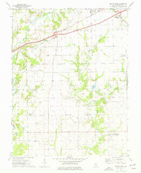
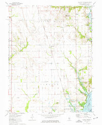
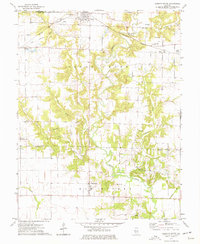
Historical Maps of Keyesport Through Time
6 maps found
Featured Locations
Source Details
SourceU.S. Geological Survey
CopyrightPublic Domain