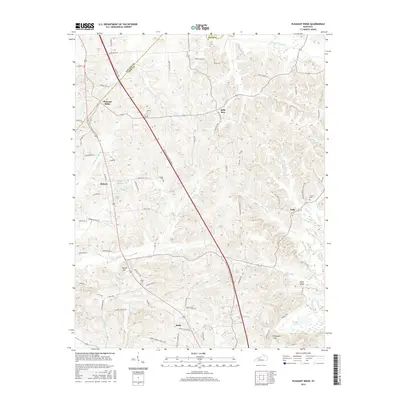
2016 Map of Pleasant Ridge
USGS Topo · Published 2016About this map
Pleasant Ridge sits near the crossing of the Daviess Co Ohio Co line, anchoring a rural landscape defined by a network of creeks and small settlements in the mid-2010s. The William H. Natcher Parkway cuts a straight diagonal across the terrain, contrasting with the winding paths of Barnett Creek and Bear Run. This map reveals the distribution of family-named landmarks and rural infrastructure, from the Shown Cemetery near Hoover Hill to the Ashley Cemetery near Taffy.
Find a feature on this map
80 named features on this map. Tap any name to fly to it.
Don’t see what you’re looking for? This feature index may not catch every label — zoom into the map to look around manually.
Map Details
Editions of this 2016 Pleasant Ridge Map
This is the sole edition of this map. No revisions or reprints were ever made.
Other maps of this area

1906 · Sutherland
USGS Topo · 1:62,500

1907 · Whitesville
USGS Topo · 1:62,500

1909 · Whitesville
USGS Topo · 1:62,500

1909 · Hartford
USGS Topo · 1:62,500

1909 · Central City
USGS Topo · 1:62,500

1952 · Equality
USGS Topo · 1:24,000

1953 · Philpot
USGS Topo · 1:24,000

1953 · Sutherland
USGS Topo · 1:24,000

1953 · Utica
USGS Topo · 1:24,000

1953 · Dundee
USGS Topo · 1:24,000