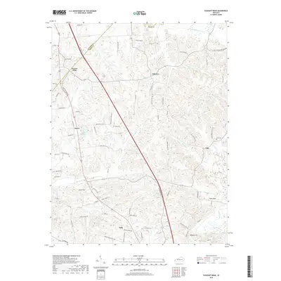
2019 Map of Pleasant Ridge
USGS Topo · Published 2019About this map
The borderlands of Daviess and Ohio Counties are defined by a complex network of creeks and small farming communities such as Pleasant Ridge and Bells Run. The landscape is carved by water, with Barnett Cr, Greasy Run, and Clear Run winding through the local topography. This agricultural and rural residential area is anchored by long-standing landmarks like the Beulah Church and several family burial grounds, including the Dodson Cem and Shown Cem.
Find a feature on this map
86 named features on this map. Tap any name to fly to it.
Don’t see what you’re looking for? This feature index may not catch every label — zoom into the map to look around manually.
Map Details
Editions of this 2019 Pleasant Ridge Map
This is the sole edition of this map. No revisions or reprints were ever made.
Other maps of this area

1906 · Sutherland
USGS Topo · 1:62,500

1907 · Whitesville
USGS Topo · 1:62,500

1909 · Whitesville
USGS Topo · 1:62,500

1909 · Hartford
USGS Topo · 1:62,500

1909 · Central City
USGS Topo · 1:62,500

1952 · Equality
USGS Topo · 1:24,000

1953 · Philpot
USGS Topo · 1:24,000

1953 · Sutherland
USGS Topo · 1:24,000

1953 · Utica
USGS Topo · 1:24,000

1953 · Dundee
USGS Topo · 1:24,000