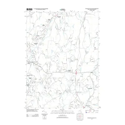
2013 Map of Pleasant Valley
USGS Topo · Published 2013About this map
Wappinger Cr carves a winding path through this corner of Dutchess County, anchoring a landscape defined by residential growth and preserved green space. In the early 21st century, suburban developments like Timothy Heights and MacDonnell Heights stand alongside older hubs like Pleasant Valley and Manchester Bridge. The map reveals a mix of commercial and recreational landmarks, from the Overlook Drive-In and Millett Tree Farm to the expansive James Baird State Park Golf Course. Further south, the rural character remains evident around Noxon and Lagrangeville, where Sprout Cr flows under the Stringham Bridge. This survey captures the region's modern infrastructure, including the Taconic State Pkwy, while documenting local history through sites such as Beth El Cem and LaGrange Cem.
Find a feature on this map
39 named features on this map. Tap any name to fly to it.
Don’t see what you’re looking for? This feature index may not catch every label — zoom into the map to look around manually.
Map Details
Editions of this 2013 Pleasant Valley Map
This is the sole edition of this map. No revisions or reprints were ever made.
Other maps of this area

1893 · Clove
USGS Topo · 1:62,500

1893 · Poughkeepsie
USGS Topo · 1:62,500

1894 · Clove
USGS Topo · 1:62,500

1894 · Poughkeepsie
USGS Topo · 1:62,500

1898 · Clove
USGS Topo · 1:62,500

1898 · Rhinebeck
USGS Topo · 1:62,500

1899 · Millbrook
USGS Topo · 1:62,500

1901 · Clove
USGS Topo · 1:62,500

1902 · Millbrook
USGS Topo · 1:62,500

1903 · Poughkeepsie
USGS Topo · 1:62,500