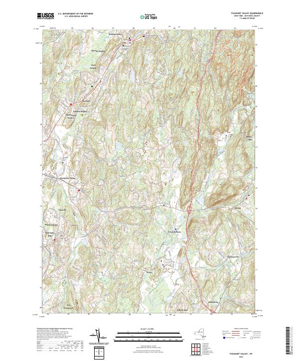
2023 Map of Pleasant Valley
USGS Topo · Published 2023About this map
Wappinger Creek flows through the heart of this Hudson Valley landscape, anchoring a network of historic settlements and rural crossings. In Pleasant Valley, the presence of the Pleasant Valley Presbyterian Cem and Saint Paul's Episcopal church marks the long-standing community center, while nearby residential growth is evident in developments like Timothy Heights and Clark Heights. The map traces the corridor of the Dutchess Tpke as it connects established hamlets such as Rochdale and Manchester Bridge with the surrounding agricultural land.
Find a feature on this map
37 named features on this map. Tap any name to fly to it.
Don’t see what you’re looking for? This feature index may not catch every label — zoom into the map to look around manually.
Map Details
Editions of this 2023 Pleasant Valley Map
This is the sole edition of this map. No revisions or reprints were ever made.
Other maps of this area

1893 · Clove
USGS Topo · 1:62,500

1893 · Poughkeepsie
USGS Topo · 1:62,500

1894 · Clove
USGS Topo · 1:62,500

1894 · Poughkeepsie
USGS Topo · 1:62,500

1898 · Clove
USGS Topo · 1:62,500

1898 · Rhinebeck
USGS Topo · 1:62,500

1899 · Millbrook
USGS Topo · 1:62,500

1901 · Clove
USGS Topo · 1:62,500

1902 · Millbrook
USGS Topo · 1:62,500

1903 · Poughkeepsie
USGS Topo · 1:62,500