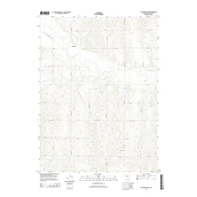
2014 Map of Pleasanton NW
USGS Topo · Published 2014About this map
Sartoria serves as the primary named settlement in this Buffalo County landscape, situated where the South Loup River winds through the Nebraska plains. The map illustrates a highly organized rural infrastructure, defined by a strict grid of section roads including Sartoria Rd, Grand Island Rd, and Dove Hill Rd. This network links isolated agricultural homesteads with local water resources and family landmarks.
Find a feature on this map
23 named features on this map. Tap any name to fly to it.
Don’t see what you’re looking for? This feature index may not catch every label — zoom into the map to look around manually.
Map Details
Editions of this 2014 Pleasanton NW Map
This is the sole edition of this map. No revisions or reprints were ever made.
Other maps of this area

1896 · Kearney
USGS Topo · 1:125,000

1951 · Litchfield SW
USGS Topo · 1:24,000

1951 · Hazard
USGS Topo · 1:24,000

1951 · Mason City SE
USGS Topo · 1:24,000

1955 · Broken Bow
USGS Topo · 1:250,000

1955 · Grand Island
USGS Topo · 1:250,000

1956 · Broken Bow
USGS Topo · 1:250,000

1957 · Grand Island
USGS Topo · 1:250,000

1958 · Grand Island
USGS Topo · 1:250,000

1961 · Amherst
USGS Topo · 1:24,000