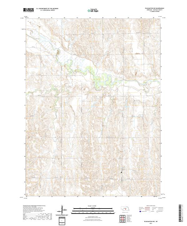
2021 Map of Pleasanton NW
USGS Topo · Published 2021About this map
Peake Lutheran Cem stands as a focal point for genealogical research in this agricultural section of Buffalo County. The landscape is defined by its rural road network, with routes like Sartoria Rd and Dove Hill Rd tracing the section lines of the Public Land Survey System. These corridors connect the scattered farmsteads and manage the water resources of the region, notably Zwiener Reservoir and Rohrich Reservoir. The terrain's character is shaped by the transition between the rolling hills and the structured cattle and crop lands typical of the Nebraska interior. Local nomenclature like Sand Puppy Rd and Husker Rd reflects the cultural identity and natural environment of the area, providing a modern record of the county's continued development and land use patterns as of the early 2020s.
Find a feature on this map
24 named features on this map. Tap any name to fly to it.
Don’t see what you’re looking for? This feature index may not catch every label — zoom into the map to look around manually.
Map Details
Editions of this 2021 Pleasanton NW Map
This is the sole edition of this map. No revisions or reprints were ever made.
Other maps of this area

1896 · Kearney
USGS Topo · 1:125,000

1951 · Litchfield SW
USGS Topo · 1:24,000

1951 · Hazard
USGS Topo · 1:24,000

1951 · Mason City SE
USGS Topo · 1:24,000

1955 · Broken Bow
USGS Topo · 1:250,000

1955 · Grand Island
USGS Topo · 1:250,000

1956 · Broken Bow
USGS Topo · 1:250,000

1957 · Grand Island
USGS Topo · 1:250,000

1958 · Grand Island
USGS Topo · 1:250,000

1961 · Amherst
USGS Topo · 1:24,000