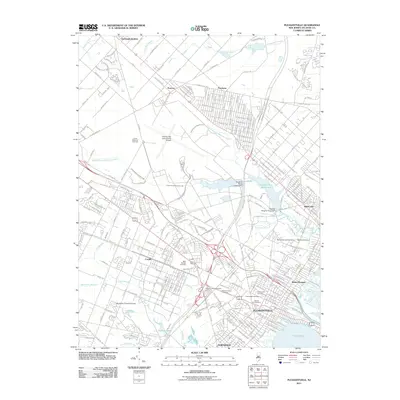
2011 Map of Pleasantville
USGS Topo · Published 2011About this map
Atlantic City International Airport anchors the landscape of inland Atlantic County, surrounded by a complex network of residential clusters and historical burial grounds. The western half of the map is defined by major transportation corridors and aviation hubs, including the Nordheim Flying K Airpark and McGinnis Airport. This 2011 survey reveals a concentrated area of local history through its many cemeteries, such as Laurel Memorial Cemetery, Beth-Kehillah Cemetery, and Sholem Cemetery. To the east, the terrain shifts toward the coastal ecosystem, where the Atlantic City Reservoir and Doughty Pond Upper Dam manage the freshwater systems of North Branch Absecon Creek. As the landscape descends toward Lakes Bay, the established towns of Pleasantville and Absecon show dense street grids that contrast with the more scattered settlements of Germania Gardens and Pomona.
Find a feature on this map
51 named features on this map. Tap any name to fly to it.
Don’t see what you’re looking for? This feature index may not catch every label — zoom into the map to look around manually.
Map Details
Editions of this 2011 Pleasantville Map
This is the sole edition of this map. No revisions or reprints were ever made.
Other maps of this area

1887 · Atlantic City
USGS Topo · 1:62,500

1888 · Little Egg Harbor
USGS Topo · 1:62,500

1890 · Great Egg Harbor
USGS Topo · 1:62,500

1890 · Mullica
USGS Topo · 1:62,500

1893 · Great Egg Harbor
USGS Topo · 1:62,500

1893 · Little Egg Harbor
USGS Topo · 1:62,500

1894 · Atlantic City
USGS Topo · 1:62,500

1894 · Mullica
USGS Topo · 1:62,500

1898 · Mullica
USGS Topo · 1:62,500

1900 · Rancocas
USGS Topo · 1:125,000