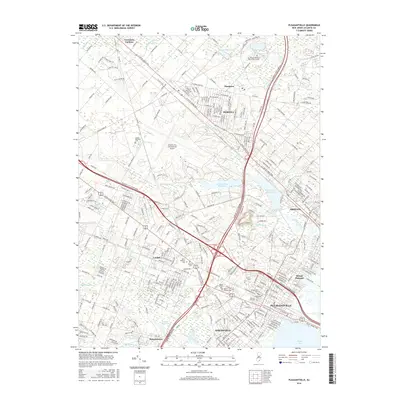
2016 Map of Pleasantville
USGS Topo · Published 2016About this map
Atlantic City International Airport and the sprawling campus of The Richard Stockton Coll of New Jersey anchor the northern landscape of this Atlantic County region. The interior is defined by a dense network of modern transportation corridors, including the Garden State Parkway and Atlantic City Expressway, which converge near Cardiff. This 2016 survey illustrates the post-war suburbanization of the Jersey Shore's mainland, where residential grids in Pleasantville, Absecon, and Northfield press against protected wetlands and water bodies like the Atlantic City Reservoir. Genealogists will find several significant burial grounds clustered near the city centers, including Greenwood Cem and Atlantic City Cem, while the southern reaches near Bargaintown and Patcong Lake retain more of the area's natural hydrography before opening into Lakes Bay.
Find a feature on this map
40 named features on this map. Tap any name to fly to it.
Don’t see what you’re looking for? This feature index may not catch every label — zoom into the map to look around manually.
Map Details
Editions of this 2016 Pleasantville Map
This is the sole edition of this map. No revisions or reprints were ever made.
Other maps of this area

1887 · Atlantic City
USGS Topo · 1:62,500

1888 · Little Egg Harbor
USGS Topo · 1:62,500

1890 · Great Egg Harbor
USGS Topo · 1:62,500

1890 · Mullica
USGS Topo · 1:62,500

1893 · Great Egg Harbor
USGS Topo · 1:62,500

1893 · Little Egg Harbor
USGS Topo · 1:62,500

1894 · Atlantic City
USGS Topo · 1:62,500

1894 · Mullica
USGS Topo · 1:62,500

1898 · Mullica
USGS Topo · 1:62,500

1900 · Rancocas
USGS Topo · 1:125,000