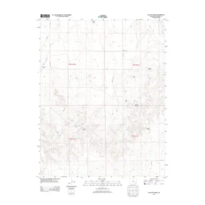
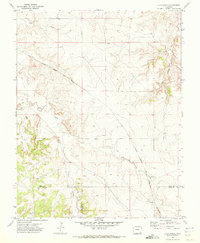
2013 Map of Plug Hat Ranch
USGS Topo · Published 2013About this map
Alexander Mesa and the prominent Plug Hat rise above a landscape defined by ranching history and ephemeral watercourses in this high-plains region. The presence of the Dry Creek School and the Plug Hat Ranch indicates a community built around traditional livestock operations, while the H Heart Ranch sits near the peculiar Alkali Holes on the western edge. This 2013 survey provides a clear look at the intersection of local topography and land management, where family-named landmarks like Pinkney Hill, Nelson Hill, and Eagle Cliff stand as orienting points for navigators and historians. The drainage patterns of Johnny Creek and Lew Smith Cr illustrate how the environment dictates the placement of rural infrastructure and cattle operations.
Find a feature on this map
27 named features on this map. Tap any name to fly to it.
Don’t see what you’re looking for? This feature index may not catch every label — zoom into the map to look around manually.
Map Details
Editions of this 2013 Plug Hat Ranch Map
This is the sole edition of this map. No revisions or reprints were ever made.
Other maps of this area

1891 · Higbee
USGS Topo · 1:125,000

1892 · Mt Carrizo
USGS Topo · 1:125,000

1893 · Higbee
USGS Topo · 1:125,000

1955 · La Junta
USGS Topo · 1:250,000

1958 · La Junta
USGS Topo · 1:250,000

1968 · La Junta
USGS Topo · 1:250,000
1971 · Ninaview
USGS Topo · 1:24,000
1971 · Walker Canyon
USGS Topo · 1:24,000
1971 · Plug Hat Ranch
USGS Topo · 1:24,000
1971 · Clay Ranch
USGS Topo · 1:24,000