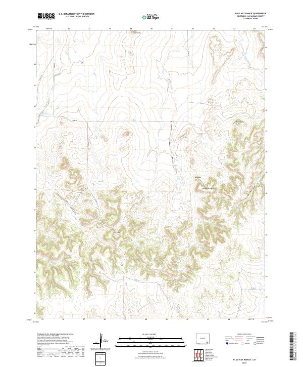
2022 Map of Plug Hat Ranch
USGS Topo · Published 2022About this map
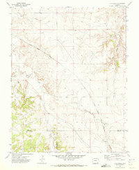
Eagle Cliff and Pinkney Hill dominate this high-plains landscape in Las Animas County, where the topography is defined by significant elevation changes and deep drainage systems. The northern portion of the quadrangle features the broad expanse of Alexander Mesa, which drops sharply into the eponymous Aunt Jane Canyon to the southeast. This 2022 survey illustrates a remote ranching environment where water is a scarce and vital resource, evidenced by features such as Alkali Holes along Johnny Creek and the seasonal courses of Dry Cr and Jean Smith Cr. The map reveals a sparse network of county roads, including Co RD 82 and Co RD 211, which navigate between the prominent Nelson Hill and the winding depths of Cahill Canyon. This terrain reflects the traditional livestock-based land use patterns common to the high mesas of southeastern Colorado.
Find a feature on this map
23 named features on this map. Tap any name to fly to it.
Don’t see what you’re looking for? This feature index may not catch every label — zoom into the map to look around manually.
Map Details
Editions of this 2022 Plug Hat Ranch Map
This is the sole edition of this map. No revisions or reprints were ever made.
Other maps of this area

1891 · Higbee
USGS Topo · 1:125,000

1892 · Mt Carrizo
USGS Topo · 1:125,000

1893 · Higbee
USGS Topo · 1:125,000

1955 · La Junta
USGS Topo · 1:250,000

1958 · La Junta
USGS Topo · 1:250,000

1968 · La Junta
USGS Topo · 1:250,000
1971 · Ninaview
USGS Topo · 1:24,000
1971 · Walker Canyon
USGS Topo · 1:24,000
1971 · Plug Hat Ranch
USGS Topo · 1:24,000
1971 · Clay Ranch
USGS Topo · 1:24,000