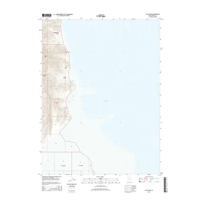
2014 Map of Plug Peak
USGS Topo · Published 2014About this map
Stansbury Island rises as a prominent landmass above the western reaches of the Great Salt Lake, dominating the topography of this Tooele County survey. The landscape is defined by steep elevation changes, punctuated by distinctive landmarks like Plug Peak and the geological formation of Castle Rock. These heights are dissected by a series of drainages, including Ben Allen Canyon, Cane Canyon, and Shanty Canyon, which channel toward the lake's edge.
Find a feature on this map
14 named features on this map. Tap any name to fly to it.
Don’t see what you’re looking for? This feature index may not catch every label — zoom into the map to look around manually.
Map Details
Editions of this 2014 Plug Peak Map
This is the sole edition of this map. No revisions or reprints were ever made.
Other maps of this area

1885 · Tooele Valley
USGS Topo · 1:250,000

1953 · Tooele
USGS Topo · 1:250,000

1955 · Timpie
USGS Topo · 1:62,500

1955 · Mills Junction
USGS Topo · 1:24,000

1955 · Burmester
USGS Topo · 1:24,000

1955 · Tooele
USGS Topo · 1:250,000

1968 · Plug Peak SE
USGS Topo · 1:24,000

1968 · Plug Peak NW
USGS Topo · 1:24,000

1968 · Badger Island
USGS Topo · 1:24,000

1968 · Corral Canyon
USGS Topo · 1:24,000