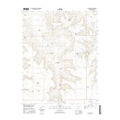
2016 Map of Plum Canyon
USGS Topo · Published 2016About this map
Plum Cr and its many tributaries carve a network of steep-walled drainages across this portion of Las Animas County, creating a landscape defined by names like Deadman Canyon and Indian Trail Canyon. The terrain is marked by distinctive natural landmarks such as Courthouse Rock and the high ground of Piñon Park. Critical water sources in this arid environment are carefully mapped, including Glover Spring, Chapman Spring, and JJ Water Spring, as well as man-made features like the Seven D Tank. The map reveals a sparsely populated area where cattle ranching and land management are evident through labels like Seven D Pocket and School Section Canyon. County roads, including Co RD 177.9 and Co RD 171, provide the primary access through the intricate system of draws and canyons such as Yeiser Canyon and Rough Canyon.
Find a feature on this map
41 named features on this map. Tap any name to fly to it.
Don’t see what you’re looking for? This feature index may not catch every label — zoom into the map to look around manually.
Map Details
Editions of this 2016 Plum Canyon Map
This is the sole edition of this map. No revisions or reprints were ever made.
Other maps of this area

1891 · Higbee
USGS Topo · 1:125,000

1891 · Timpas
USGS Topo · 1:125,000

1891 · Mesa De Maya
USGS Topo · 1:125,000

1892 · Mt Carrizo
USGS Topo · 1:125,000

1893 · Higbee
USGS Topo · 1:125,000

1893 · Mesa de Maya
USGS Topo · 1:125,000

1894 · Timpas
USGS Topo · 1:125,000

1955 · La Junta
USGS Topo · 1:250,000

1958 · La Junta
USGS Topo · 1:250,000

1968 · La Junta
USGS Topo · 1:250,000