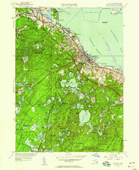
1950 Map of Plymouth
USGS Topo · Published 1958About this map
Plymouth Harbor and its legendary Plymouth Rock are the focal point of this 1950s coastal survey, depicting the transition from the bustling historic town center to the dense pond-filled woodlands of the interior. The shoreline is marked by the protective stretch of Plymouth Beach and the military grounds of Fort Standish at Saquish Head. Industrial remnants and maritime infrastructure are prominent, including the New York New Haven and railroad line running through Cordage and North Plymouth, and the Duxbury Pier Lighthouse guarding the northern approach. The landscape further inland is defined by an intricate network of freshwater bodies such as South Pond, Billington Sea, and West Pond, which supported early industries like the Russell Mill in Chiltonville. Large tracts of the southern portion of the sheet are preserved within the Myles Standish State Forest, while the presence of the County Farm and local Airport reflect mid-century civic development.
Find a feature on this map
115 named features on this map. Tap any name to fly to it.
Don’t see what you’re looking for? This feature index may not catch every label — zoom into the map to look around manually.
Map Details
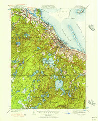
Editions of this 1950 Plymouth Map
2 editions found
Other maps of this area

1885 · Abington
USGS Topo · 1:62,500

1885 · Duxbury
USGS Topo · 1:62,500

1885 · Middleboro
USGS Topo · 1:62,500

1886 · Plymouth
USGS Topo · 1:62,500

1888 · Duxbury
USGS Topo · 1:62,500

1888 · Middleboro
USGS Topo · 1:62,500

1888 · Abington
USGS Topo · 1:62,500

1889 · Plymouth
USGS Topo · 1:62,500

1893 · Abington
USGS Topo · 1:62,500

1893 · Duxbury
USGS Topo · 1:62,500