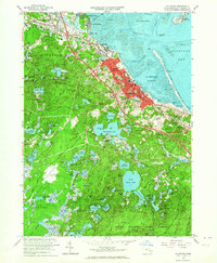
1962 Map of Plymouth
USGS Topo · Published 1964About this map
Plymouth and North Plymouth are shown in detail just as the mid-century expansion of the coastal corridor began to modernize this colonial landscape. While the harbor remains the focal point with landmarks like Plymouth Rock and the National Monument overlooking Coles Hill, the map reveals the era's emerging infrastructure, including the Plymouth Municipal Airport and the path of the New York New Haven and Hartford Railroad. To the south and west, the terrain shifts into a dense network of glacial ponds and wetlands, such as Billington Sea and Great South Pond, reaching into the northern edge of the Myles Standish State Forest. Settlement patterns are concentrated along the coast through Jabez Corner and Chiltonville, where traditional industries are represented by features like the Russell Millpond. This survey captures the transition from an old-world harbor town to a growing regional hub before the full impact of the interstate era.
Find a feature on this map
91 named features on this map. Tap any name to fly to it.
Don’t see what you’re looking for? This feature index may not catch every label — zoom into the map to look around manually.
Map Details
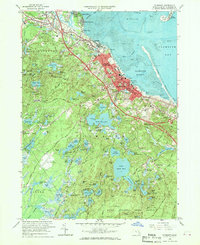
Editions of this 1962 Plymouth Map
2 editions found
Other maps of this area

1885 · Abington
USGS Topo · 1:62,500

1885 · Duxbury
USGS Topo · 1:62,500

1885 · Middleboro
USGS Topo · 1:62,500

1886 · Plymouth
USGS Topo · 1:62,500

1888 · Duxbury
USGS Topo · 1:62,500

1888 · Middleboro
USGS Topo · 1:62,500

1888 · Abington
USGS Topo · 1:62,500

1889 · Plymouth
USGS Topo · 1:62,500

1893 · Abington
USGS Topo · 1:62,500

1893 · Duxbury
USGS Topo · 1:62,500