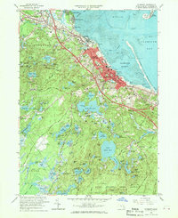
1962 Map of Plymouth
USGS Topo · Published 1970About this map
Plymouth Rock and the National Monument overlook Plymouth Harbor on this mid-century survey, which reveals the dense urban development along the coast juxtaposed with the rugged, pond-pocked interior. The New York New Haven and Hartford Railroad defines the industrial corridor through Cordage and North Plymouth, while specialized institutions like the Arms House, Jordan Hospital, and Sacred Heart High Sch anchor the community's social geography.
Find a feature on this map
119 named features on this map. Tap any name to fly to it.
Don’t see what you’re looking for? This feature index may not catch every label — zoom into the map to look around manually.
Map Details
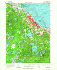
Editions of this 1962 Plymouth Map
2 editions found
Other maps of this area

1885 · Abington
USGS Topo · 1:62,500

1885 · Duxbury
USGS Topo · 1:62,500

1885 · Middleboro
USGS Topo · 1:62,500

1886 · Plymouth
USGS Topo · 1:62,500

1888 · Duxbury
USGS Topo · 1:62,500

1888 · Middleboro
USGS Topo · 1:62,500

1888 · Abington
USGS Topo · 1:62,500

1889 · Plymouth
USGS Topo · 1:62,500

1893 · Abington
USGS Topo · 1:62,500

1893 · Duxbury
USGS Topo · 1:62,500