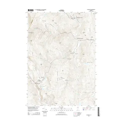
2015 Map of Plymouth
USGS Topo · Published 2015About this map
Bridgewater Corners and Plymouth Notch serve as central nodes in this Windsor County landscape, where the Ottauquechee River and the Black River carve through the Green Mountains. The terrain is defined by a dense network of hills and peaks, including Bald Mtn, Morgan Peak, and Southgate Mtn, which have historically dictated the placement of mountain roads like Woodstock Rd and VT Route 100A. Small settlements such as West Bridgewater and Bridgewater Center are connected by narrow valley routes, reflecting a classic Vermont upland settlement pattern centered on river forks and gaps.
Find a feature on this map
93 named features on this map. Tap any name to fly to it.
Don’t see what you’re looking for? This feature index may not catch every label — zoom into the map to look around manually.
Map Details
Editions of this 2015 Plymouth Map
This is the sole edition of this map. No revisions or reprints were ever made.
Other maps of this area

1891 · Rutland
USGS Topo · 1:62,500

1893 · Wallingford
USGS Topo · 1:62,500

1893 · Rutland
USGS Topo · 1:62,500

1911 · Woodstock
USGS Topo · 1:62,500

1913 · Woodstock
USGS Topo · 1:62,500

1928 · Ludlow
USGS Topo · 1:48,000

1929 · Ludlow
USGS Topo · 1:62,500

1932 · Ludlow
USGS Topo · 1:62,500

1943 · Woodstock
USGS Topo · 1:62,500

1950 · Glens Falls
USGS Topo · 1:250,000