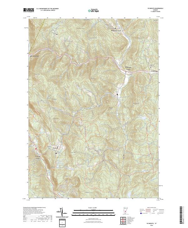
2024 Map of Plymouth
USGS Topo · Published 2024About this map
The Ottauquechee River and its North Branch form the central drainage for this mountain landscape, which includes several distinct historic village nodes. West Bridgewater, Bridgewater Center, and Bridgewater Corners occupy the northern reaches, while the southern terrain is anchored by the historic significance of Plymouth Notch and Plymouth Union. The mapping shows a high concentration of burial grounds, from the Bridgewater Hill Cem to the Plymouth - Five Corners Cem, providing essential data for genealogists tracing family ties across the Green Mountains and the Coolidge Range.
Find a feature on this map
104 named features on this map. Tap any name to fly to it.
Don’t see what you’re looking for? This feature index may not catch every label — zoom into the map to look around manually.
Map Details
Editions of this 2024 Plymouth Map
This is the sole edition of this map. No revisions or reprints were ever made.
Other maps of this area

1891 · Rutland
USGS Topo · 1:62,500

1893 · Wallingford
USGS Topo · 1:62,500

1893 · Rutland
USGS Topo · 1:62,500

1911 · Woodstock
USGS Topo · 1:62,500

1913 · Woodstock
USGS Topo · 1:62,500

1928 · Ludlow
USGS Topo · 1:48,000

1929 · Ludlow
USGS Topo · 1:62,500

1932 · Ludlow
USGS Topo · 1:62,500

1943 · Woodstock
USGS Topo · 1:62,500

1950 · Glens Falls
USGS Topo · 1:250,000