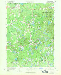
1962 Map of Plympton
USGS Topo · Published 1971About this map
Cranberry Bogs dominate the low-lying wetlands of Plymouth County, illustrating the intensive agricultural land use that defines the local economy between Plympton and Carver. The map reveals a transition from the industrial heritage of the Cole Mill area to a landscape shaped by glacial topography, featuring numerous water bodies like Monponsett Pond, Wenham Pond, and Muddy Pond. The settlement pattern is characterized by small village centers such as Eddyville, Waterville, and Harrubs Corner, many situated along the historical route of the New York New Haven and Hartford railroad. Topographic landmarks like Mt Carmel and Prospect Hill rise above the surrounding Turkey Swamp and Little Cedar Swamp, providing a clear view of the natural drainage systems of the Winnetuxet River and Jones River that supported early colonial and later industrial development.
Find a feature on this map
122 named features on this map. Tap any name to fly to it.
Don’t see what you’re looking for? This feature index may not catch every label — zoom into the map to look around manually.
Map Details
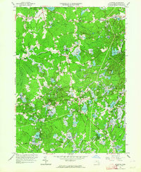
Editions of this 1962 Plympton Map
2 editions found
Other maps of this area

1885 · Abington
USGS Topo · 1:62,500

1885 · Duxbury
USGS Topo · 1:62,500

1885 · Middleboro
USGS Topo · 1:62,500

1886 · Plymouth
USGS Topo · 1:62,500

1888 · Duxbury
USGS Topo · 1:62,500

1888 · Middleboro
USGS Topo · 1:62,500

1888 · Abington
USGS Topo · 1:62,500

1889 · Plymouth
USGS Topo · 1:62,500

1893 · Abington
USGS Topo · 1:62,500

1893 · Duxbury
USGS Topo · 1:62,500