
1953 Map of Pocasset
USGS Topo · Published 1954About this map
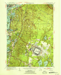
The Cape Cod Canal serves as the northern anchor for this 1953 survey, which documents the mid-century infrastructure of Upper Cape Cod. The landscape is heavily defined by the massive military footprint of the U S Military Reservation, containing Camp Edwards and the Otis Air Force Base. These facilities, with their distinctive grid-like barracks and airfield runways, stand in sharp contrast to the irregular glacial topography and numerous kettle ponds such as Deep Bottom Pond and Little Halfway Pond that dot the interior.
Find a feature on this map
81 named features on this map. Tap any name to fly to it.
Don’t see what you’re looking for? This feature index may not catch every label — zoom into the map to look around manually.
Map Details
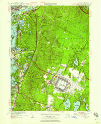
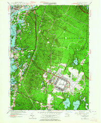
Editions of this 1953 Pocasset Map
4 editions found
Other maps of this area

1886 · Falmouth
USGS Topo · 1:62,500

1886 · Plymouth
USGS Topo · 1:62,500

1888 · Barnstable
USGS Topo · 1:62,500

1888 · Falmouth
USGS Topo · 1:62,500

1889 · Plymouth
USGS Topo · 1:62,500

1893 · Barnstable
USGS Topo · 1:62,500

1893 · Falmouth
USGS Topo · 1:62,500

1894 · Plymouth
USGS Topo · 1:62,500

1915 · Falmouth
USGS Topo · 1:62,500

1920 · Falmouth
USGS Topo · 1:62,500