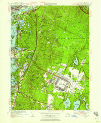
1953 Map of Pocasset
USGS Topo · Published 1958About this map
Camp Edwards and Otis Air Force Base dominate the interior landscape of this 1953 revision, marking a period of intense military activity on Upper Cape Cod. The infrastructure of these installations is shown in high detail, with organized grids of buildings and airfields set against the surrounding woodlots. To the north, the Cape Cod Canal cuts through the terrain, spanned by the Bourne Bridge, while the western shoreline is defined by established coastal villages and summer destinations like Monument Beach and Pocasset.
Find a feature on this map
86 named features on this map. Tap any name to fly to it.
Don’t see what you’re looking for? This feature index may not catch every label — zoom into the map to look around manually.
Map Details
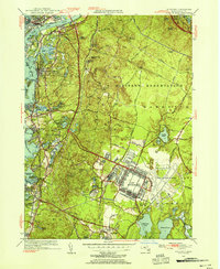
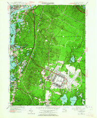
Editions of this 1953 Pocasset Map
4 editions found

Other maps of this area

1886 · Falmouth
USGS Topo · 1:62,500

1886 · Plymouth
USGS Topo · 1:62,500

1888 · Barnstable
USGS Topo · 1:62,500

1888 · Falmouth
USGS Topo · 1:62,500

1889 · Plymouth
USGS Topo · 1:62,500

1893 · Barnstable
USGS Topo · 1:62,500

1893 · Falmouth
USGS Topo · 1:62,500

1894 · Plymouth
USGS Topo · 1:62,500

1915 · Falmouth
USGS Topo · 1:62,500

1920 · Falmouth
USGS Topo · 1:62,500