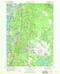
1967 Map of Pocasset
USGS Topo · Published 1970About this map
Otis Air Force Base dominates the central landscape of this Upper Cape survey, showing the extensive runway infrastructure and facilities of the U.S. Military Reservation during the late 1960s. Along the western coastline, the varied shore of Buzzards Bay is marked by the Cape Cod Canal entrance and the distinct maritime communities of Gray Gables, Monument Beach, and Pocasset. The geography reveals a transition from the dense coastal settlements and the Mass Maritime Academy to the interior's glacial kettle ponds, including Snake Pond and Weeks Pond.
Find a feature on this map
112 named features on this map. Tap any name to fly to it.
Don’t see what you’re looking for? This feature index may not catch every label — zoom into the map to look around manually.
Map Details
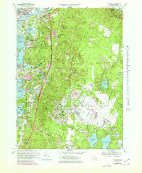
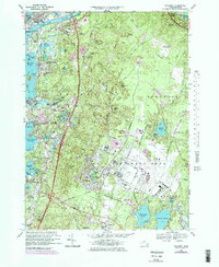
Editions of this 1967 Pocasset Map
3 editions found
Other maps of this area

1886 · Falmouth
USGS Topo · 1:62,500

1886 · Plymouth
USGS Topo · 1:62,500

1888 · Barnstable
USGS Topo · 1:62,500

1888 · Falmouth
USGS Topo · 1:62,500

1889 · Plymouth
USGS Topo · 1:62,500

1893 · Barnstable
USGS Topo · 1:62,500

1893 · Falmouth
USGS Topo · 1:62,500

1894 · Plymouth
USGS Topo · 1:62,500

1915 · Falmouth
USGS Topo · 1:62,500

1920 · Falmouth
USGS Topo · 1:62,500